Chapter 2: Ancient Paths to The Land of the North Folk
Sun 4th June
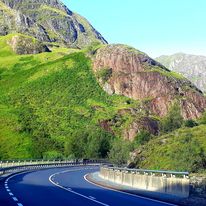
Day 2: Streatley to Baldock
(Approx 15 miles – 3.05 by train + 2 getting lost
Accomodation Air BnB Baldock
After barely 5 hrs sleep over two days, I really needed a good nights sleep. But… live music till midnight, thwarted sleep once more.
Actually they weren’t half bad, 80s synth pop, all the favourites. The downside… the whole pub sang along
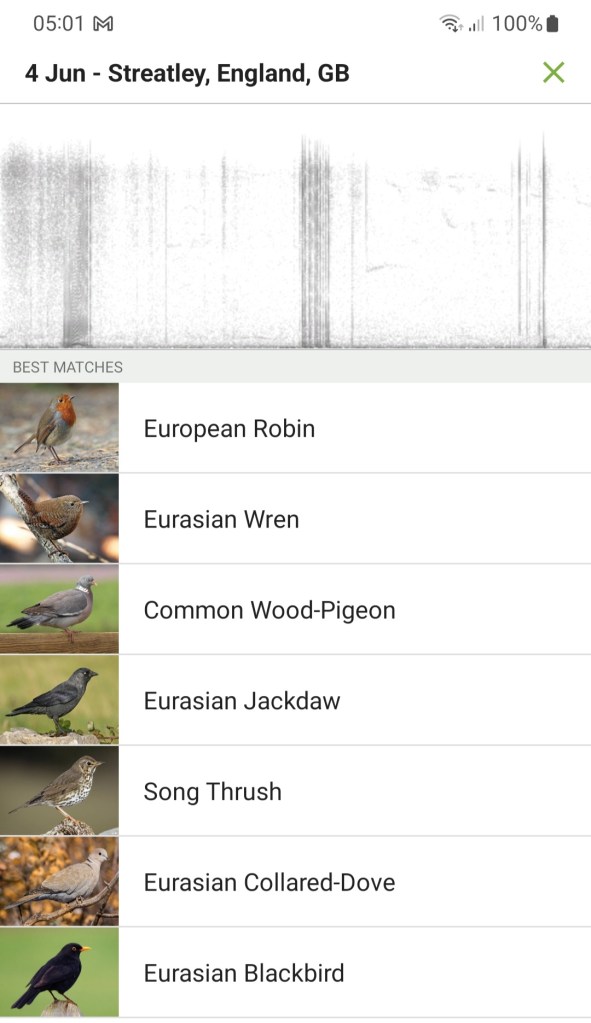
Once I got to sleep, it was good quality, but I was awoken 4.30 by the dawn chorus. It was nice to be in a comfortable bed and to drift back to sleep listening
Finally stiring 6.30 my tired legs felt a little restored. No cramp in the night, I think I had been dehydrated, after two days of coffee and not enough water
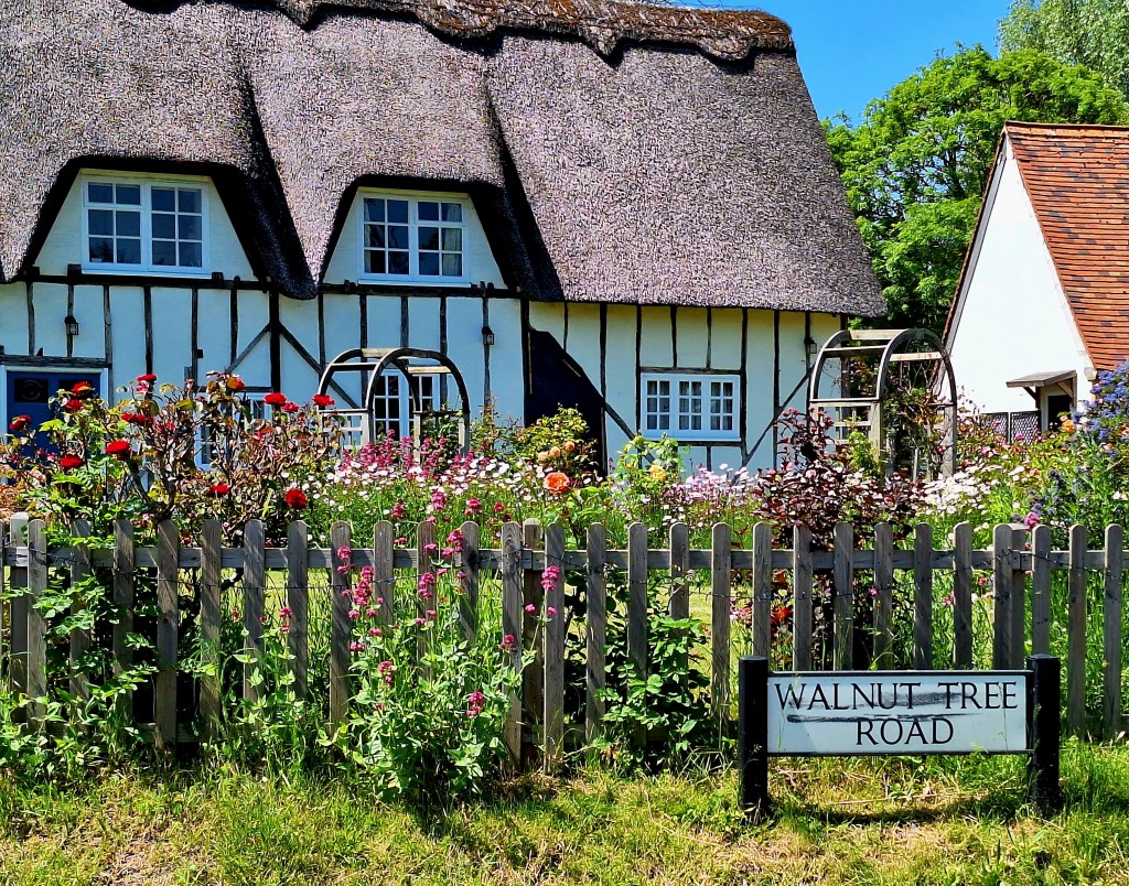
The Chequers was a handy stop, right on the Icknield Way. But very basic. Why do some places not provide soap? It’s a mystery
Another long stretch again today, so I needed to leave early and take my time. I was a bit fast out the gate yesterday and paid for it
Breakfast at the Chequers wasn’t until 9 am, far to late, so they made me a ham sandwich to go
All packed, I crept down the stairs, 7.30 grabbed my ham sandwich and headed for the church. My guide book states that it’s the burial place of The Rackmaster General, Thomas Norton, and one time Lord of Sharpenhoe Manor
Wiki says: Norton held several interrogation sessions in the Tower of London using torture instruments such as the rack. His punishment of the Catholics, as their official censor from 1581 onwards, led his being nicknamed “Rackmaster-General” and “Rackmaster Norton”
Alas, all that remains is a grassy mound of the family plot
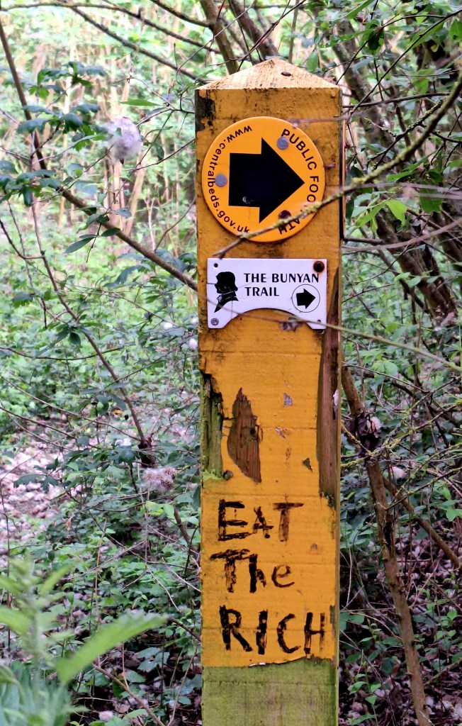
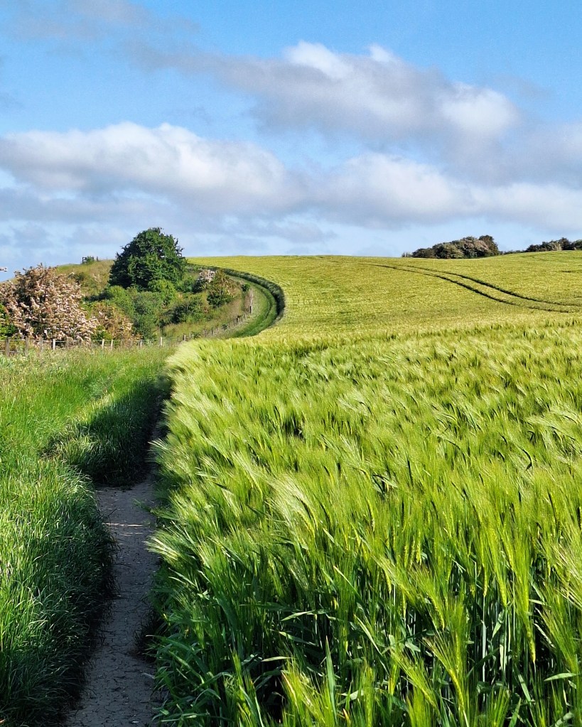
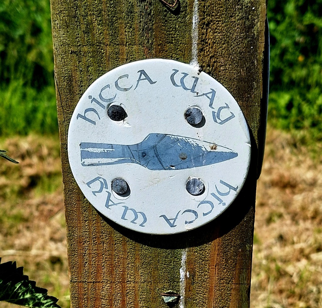
Back on the Icknield Way, the path quickly diverts onto the John Bunyan Trail, away from the road through hay meadows, the stems waving in the cool wind, kites calling above, no mouse is safe
Further on, in the distance, I saw what I thought were two dogs, dashing excitabley back and forth along the path. They vanished and I expected their owner to appear

Back they came again, galloping at great velocity. As they got closer, I could see they were Muntjac. Headed straight for me, hooves thundering. I stood quite still, then noticed they were pretty robust creatures up close. I felt sure at that speed I would be stampeded to death
What an end, to be trampled by a tiny deer. They were almost upon me, when they spotted me and deftly veered off into the barley. Bounding uphill over the high stalks, white tails flashing, without changing gear. I wondered what all the commotion was about
It would have been more straightforward to follow the Chiltern Way this morning. But the trail took a rather circuitous route to pass Drays Ditches.
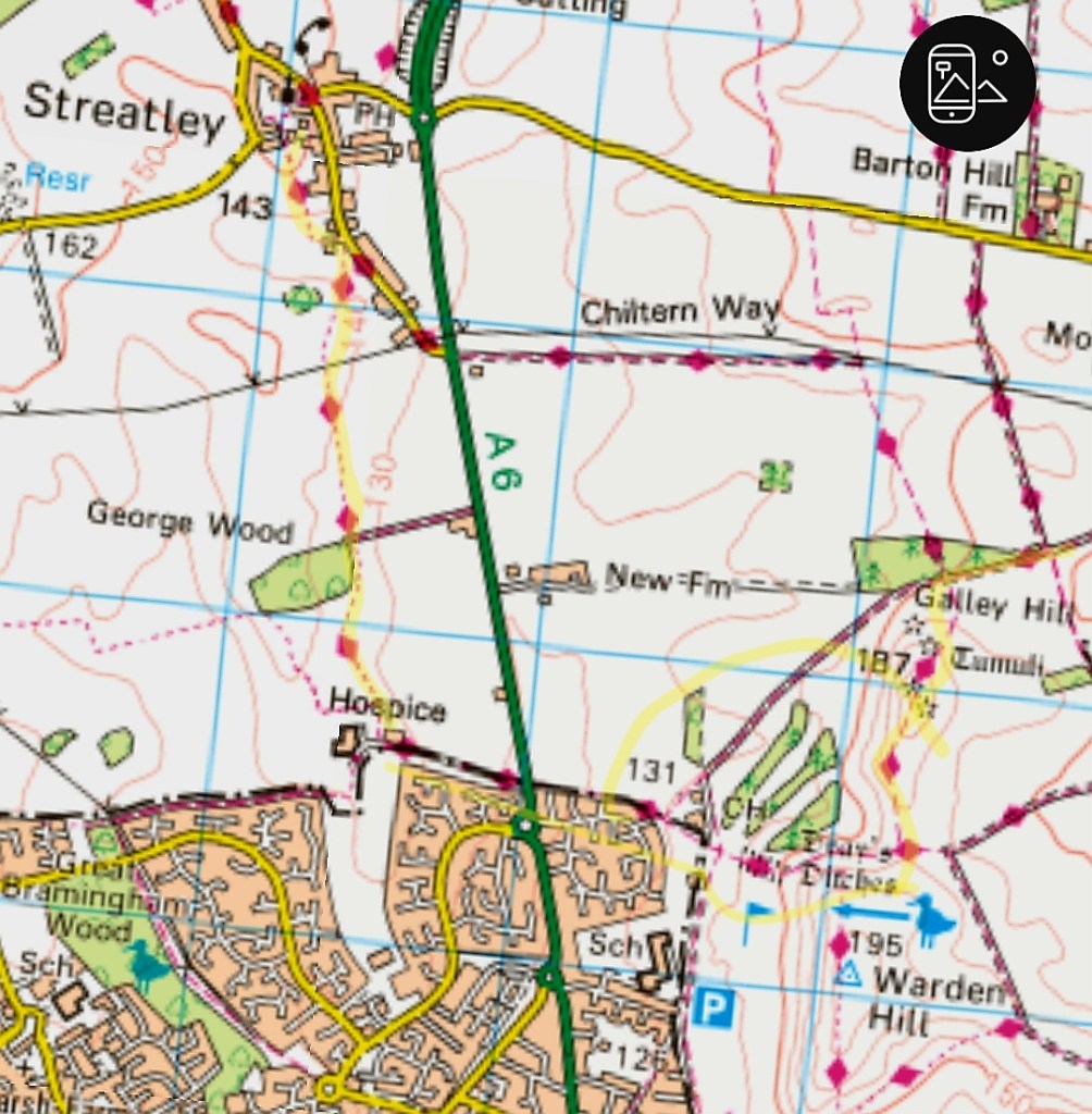
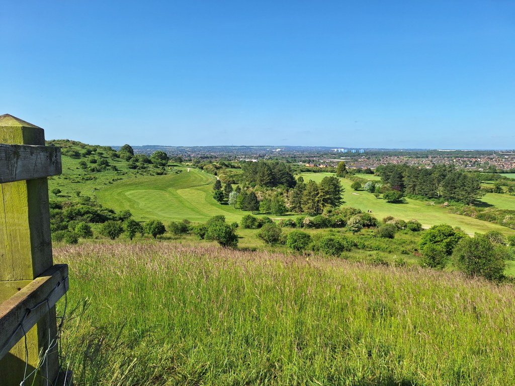
I had to negotiate another golf course full of Sunday golfers. And I couldn’t distinuish the ditches from the landscape. Nothing for an uneducated eye, to see.

The trail continued upwards onto Galley and Warden hills, site of special scientific interest. After 3 miles walking, it was the perfect spot for my ham sandwich breakfast, whilst the skylarks chattered above.
The track leading down from warden Hill, heading west across the A6, is part of an ancient trading route known as Theedway (Ole English Highway)
The trail descended to cross more of the golf course, then into Maulden Firs. Distracted by an information board about the Icknield Way, I took the wrong path.
One mile later the penny dropped and I had to retrace my steps. I was too tired to be annoyed at myself.
Back at Maulden Firs, I found the correct route and followed a lovely old brick road up to Telegraph Hill. In the Chiltern Area of Outstanding Beauty.
Between 1796 and 1814, it was a Telegraph station, one of the links in the chain between Great Yarmouth and London during the Napoleonic Wars

There was the usual Sunday traffic, dog walkers, runners, and cyclists. Some very cautious cyclists woke me from my slumber, yelling “on your left, few more, one more”
I enjoyed much cheery banter on route
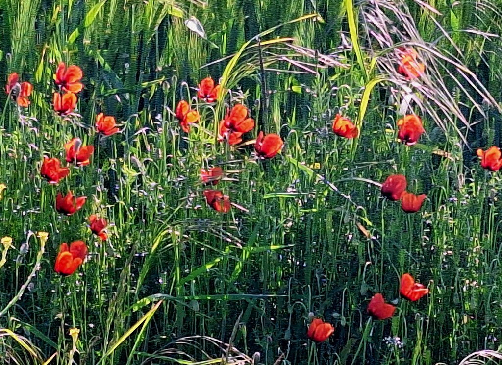
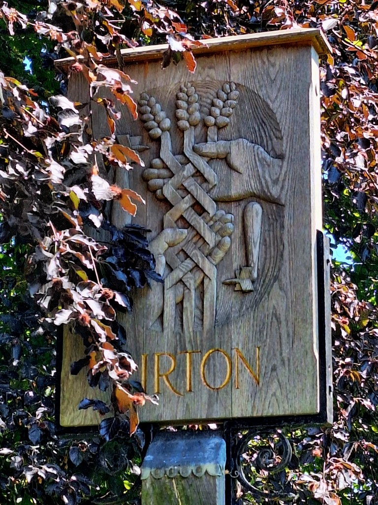
Barley field after barley field, with little shade. I had now walked nearly ten miles and by Pirton, I was ready for a break. My shoulders and hips now feeling bruised, from the weight of my pack.
Roast gate part two – It’s Sunday, but I thought I was chance my luck and asked for a sandwich. Sunday roast only was the families reply. Crisps and pint of pineapple juice and soda it is then
An alert on my phone reminded me of my Air BnB in Baldock ‘tomorrow’. Hang on… Baldock was my destination tonight.
How the hell did I do that? Sunday was clearly written on my itinerary, I must have tapped in the wrong dates. I booked it weeks ago, how could I not have noticed
I hurriedly messaged to see if my room was available tonight. Despondent, I walked on, a little grey cloud forming over my head. I was looking forward to another soft bed and clean laundry
Next to the Church is Toot Hill Motte and Bailey Castle 1139, great name. The Icknield Way, intersects ‘The Bury’ which contains the earthwork remains of the now deserted part of the ancient village of Pirton. But even that didn’t brighten my mood.
Then I bumped into cycling Simon, fussing two retrievers. I got caught in the path bottleneck and we got chatting. Turns out he too is a Ridgeway and Ancient Paths member
How lovely, two members meeting on the trail. After telling him my tale of woe, he kindly offered to put me up later if needed. Thank you kind sir.
Ickleford was two miles further on, and I arrived there just in time for the Ickleford Community Larder. I had wandered into the church, hoping to find a bench to rest. Completely unaware of a queue, I bagged a banana on my way through
By now, my host at the Air BnB had responded, she could change my booking to this evening. Phew crisis averted.
The name ‘Ickleford’ is derived from it being a ford, that is a way to cross a river, along the Icknield Way. St Catherines Church is the burial place of Henry Boswell “King of the Gypsies”
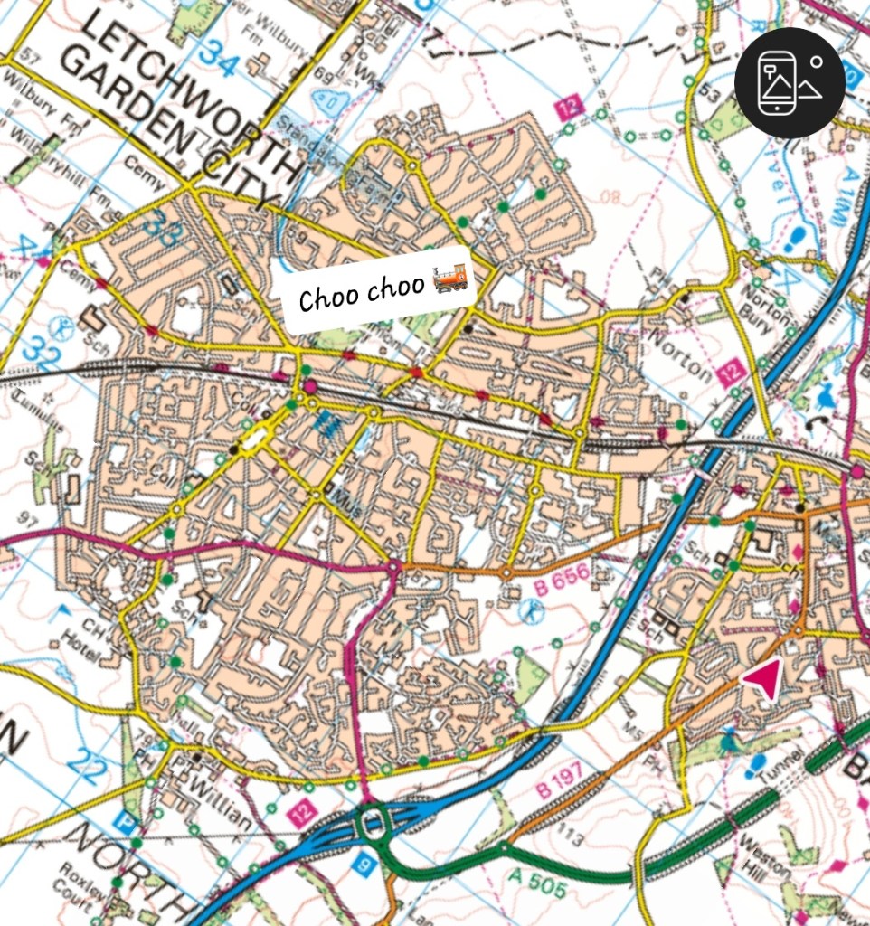
Just another couple of mile to Letchworth Garden City. Here I took the train to Baldock. I could see no point trudging pavement for three miles.
Another pub stop for a giant coke. But there were a gazillion TVs on and loud music playing over that. What is it with people and noise
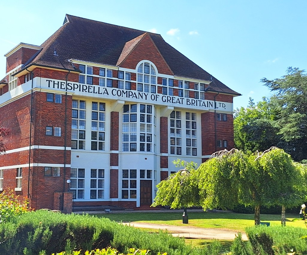
On route to my accommodation, I excitedly headed for the ‘Site of a Roman Settlement‘. But alas, it was just a giant barley field. Baldock has been the site of minor settlements since the first century BC
So, ends day 2, I’m hoping for some quality kip, back in the tent from tomorrow
If you would like to walk some or all of these stages with me, please feel free to get in touch
If you want to catch up on the story so far see the link: https://wordpress.com/post/fern-weh.uk/753
If you enjoy my tales you may wish to consider buying me a Coffee.
ko-fi.com/fernweh
Thank you, I will need them…

Leave a comment