Chapter 2: Ancient Paths to The Land of the North Folk
Weds 7th June
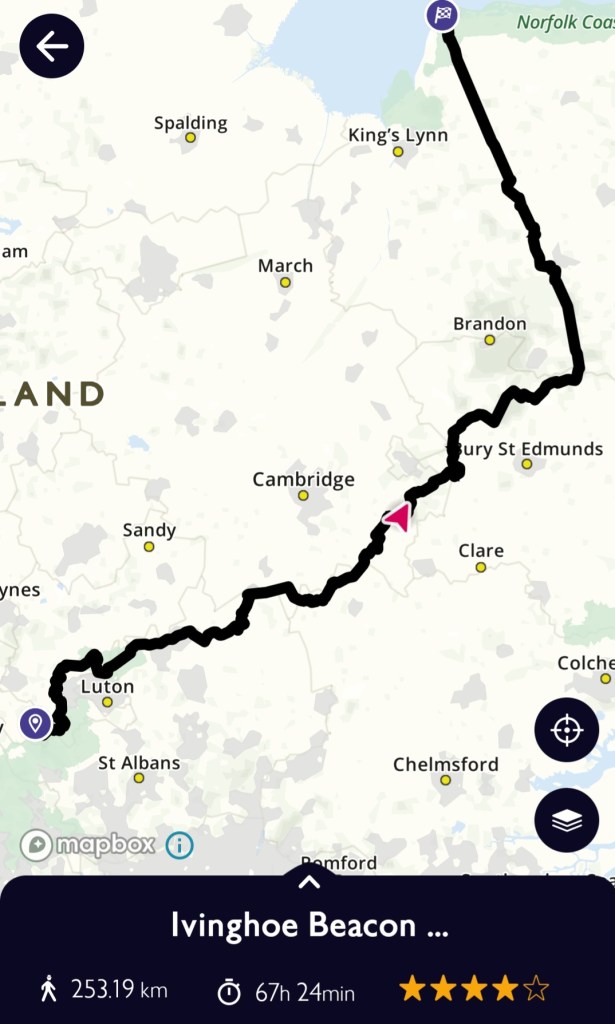
Day 5: Brinkley to West Stow Country Park
(Approx 21 miles – Wideham Farm Campsite
Saved by the ‘Holy Coffee’
The dead couldn’t have slept better than I last night. Waking around 5.30 a.m., I was already feeling defeated about the day ahead. But I had choices… and I was more than halfway on this journey
So, I could walk a shorter distance and wild camp somewhere, or power through to the campsite in West Stow and then have a days rest
It was Approx 8 miles to Cheveley
Cheveley to Icklingham was 14 miles
Wideham Campsite was 2 miles further
It seemed unachievable at that hour of the morning. How do you manage the psychology of long distance walking?
This one was quite easy… it was walking from village to village, church to church. So just chunking it down. I could stop anytime I wanted and pitch the tent… somewhere
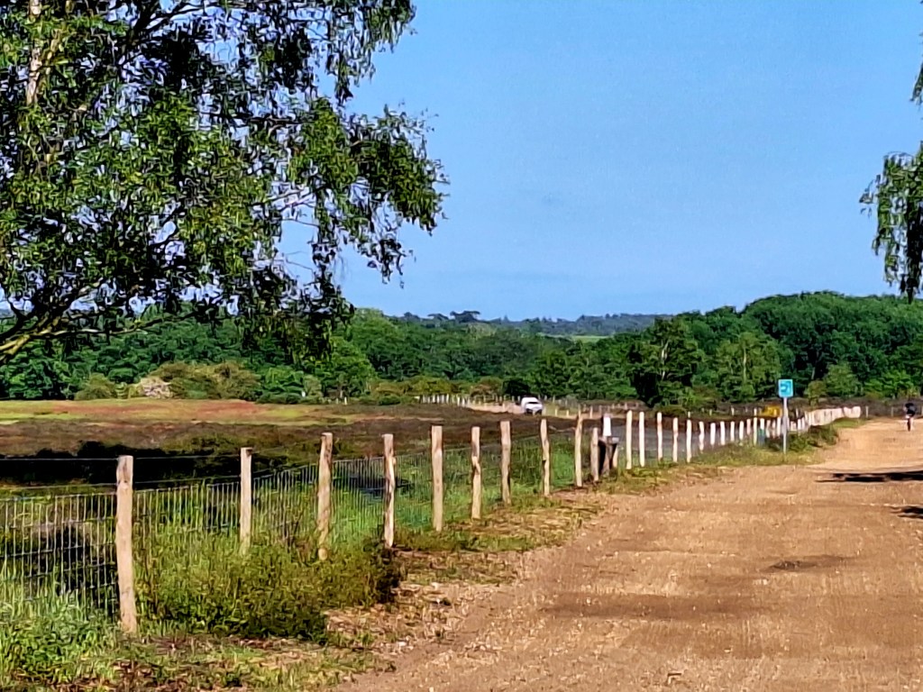
Decamping 7 am again, the trail started on soft tracks, passing through Burrough Green. Another of the strip-shaped villages of the Radford Hundred. Basically divided boroughs of Cambridge with separate councils, between Anglo-Saxon times and the 19th century.
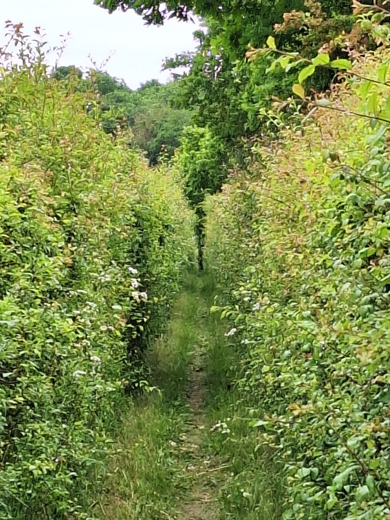
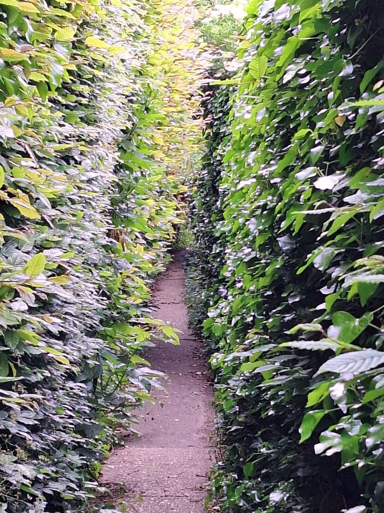
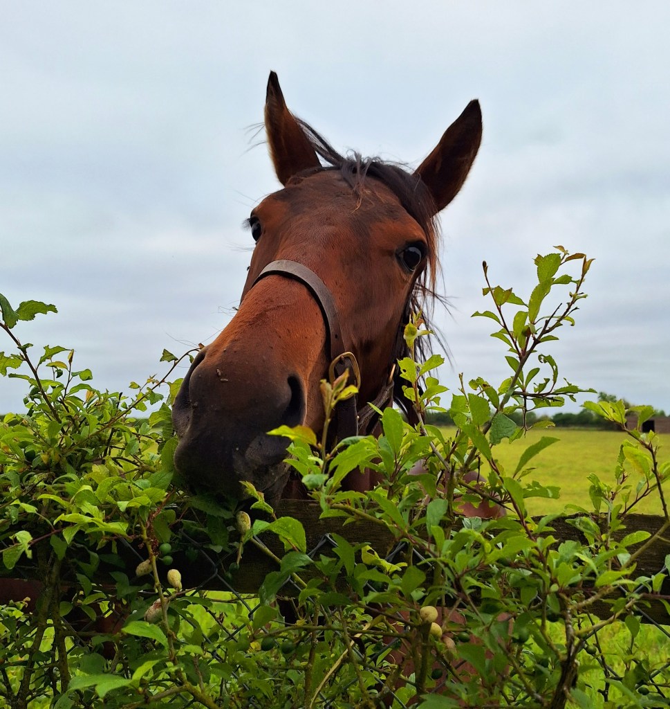
Narrow paths and lack of sign posts, through paddocks and a stud farm, slowed progress. Toms words echoed in my head, I could see what he meant. It was hard enough to walk on the ankle turning, hard baked mud, let alone run it
Turn right at the Stud farm, and continue through more horse paddocks. There would be a lot today as we get closer to New Market, land of opulence, and expensive accommodation
The trail continued into the tranquil Marmers Wood, I paused to take in the bird song. Before continuing to Stetchworth, poor Tom’s start point, I hoped he had made it to his destination…
Stetchworth is probably the best place to stock up on food if you are through hiking. There is a post office come village shop on route. I made the mistake of passing it up for a later shop. I didn’t want to carry more weight so early, then found myself short of food
Shortly after, the trail crosses Devils Ditch. It’s not really a ditch. It’s a linear earthen barrier, thought to be of Anglo-Saxon origin, and still 20 ft wide in places


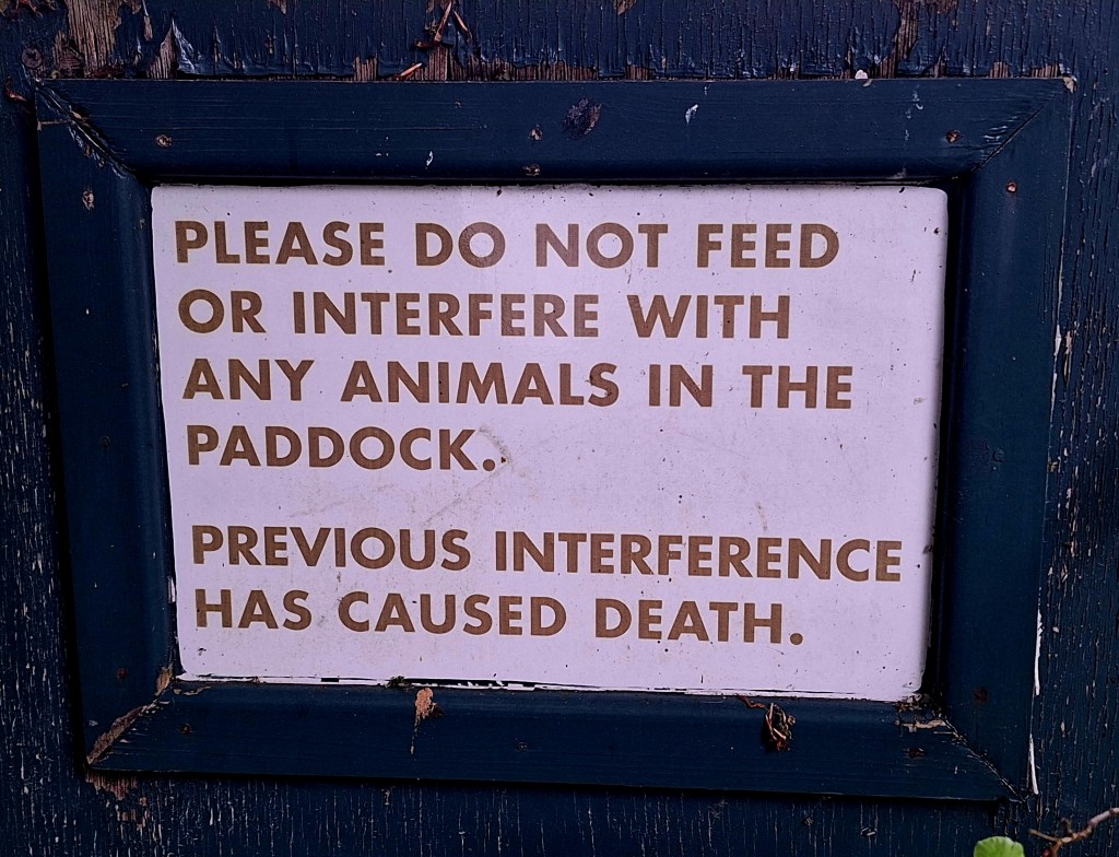
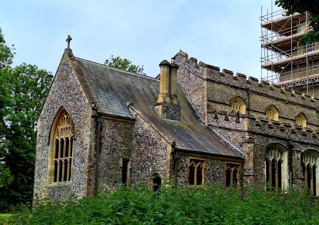
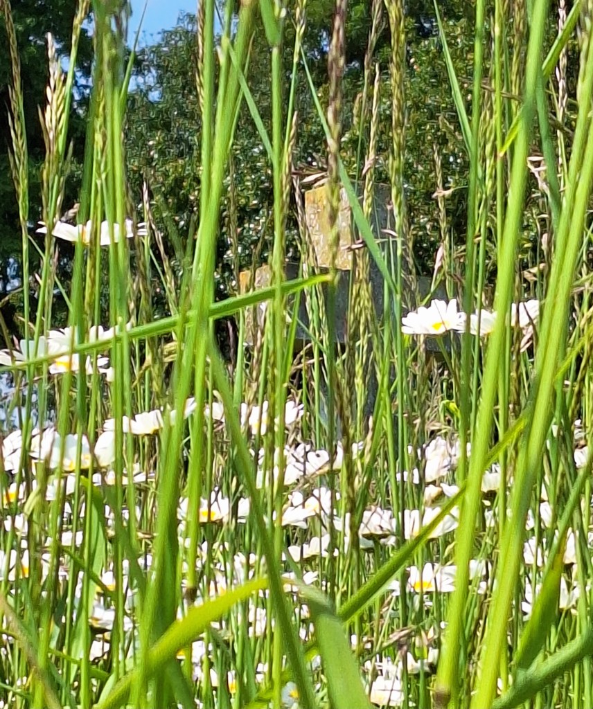
My quest for holy coffee continued at the church in Woodington. There was a kettle, but sadly, no holy coffee. But it was a good place to stop, take off the boots, and eat my muesli
The forecast was sunny all day, I was glad it wasn’t. Just after Woodington, through more horse paddocks, I missed a right turn and had to back track. It’s hidden in the hedge, no signage

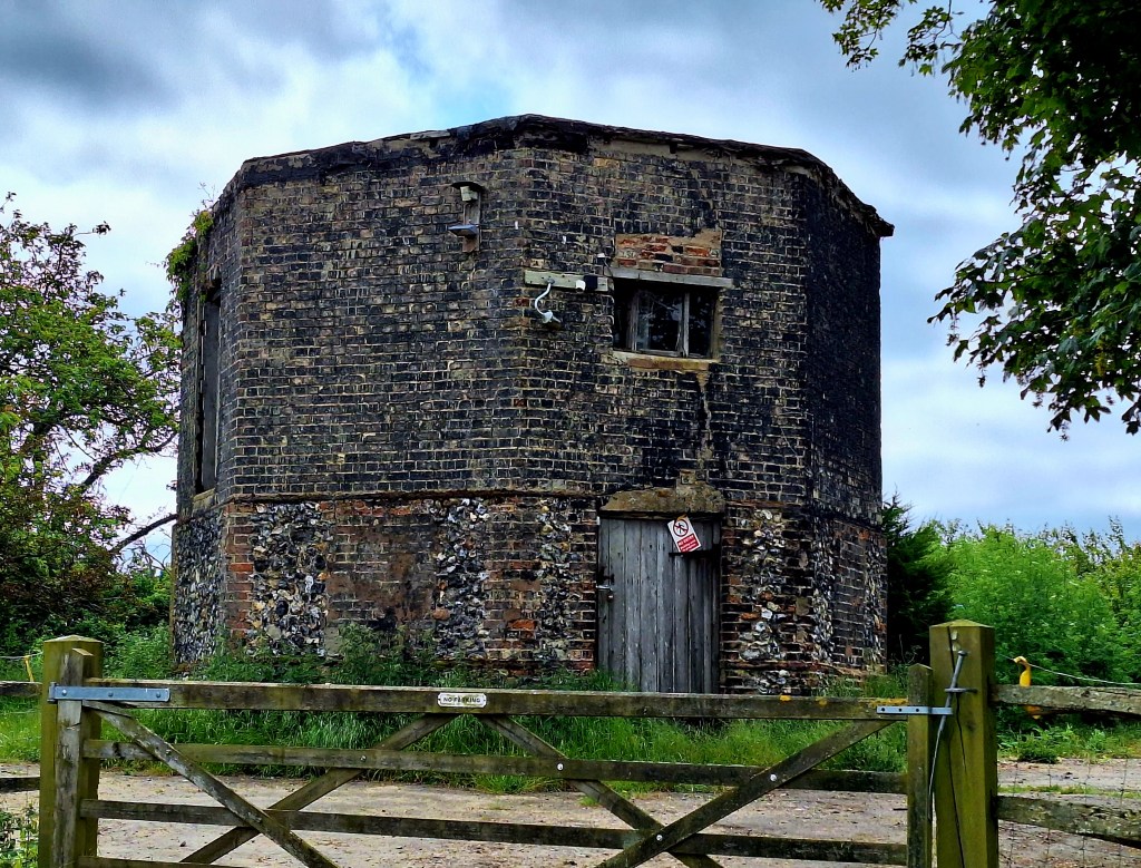
You can’t see the Saxon Hall from the path
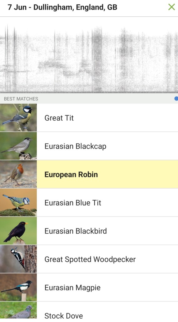
At last, in Cheveley, I found Holy Coffee. In fact, it was the holy grail of holy coffee. It was wednesday and the church coffee morning.

The lovely ladies took my heavy burden from me (Rucksack) and poured me a strong one. Declining the rather sumptuous cake, for fear that the sugary goodness would send me to sleep.
Worthy of note, these posher churches have posh loos. They are also great places to rest, top up with water, and charge your phone.
Refreshed and filled with holy vigour, I hit the trail once more. The potent brew set off my tinnitus or was it Gabriel’s horn I could hear?
11am and the sun came out. The next village Ashley, according to the very nice church ladies, had a small spar shop
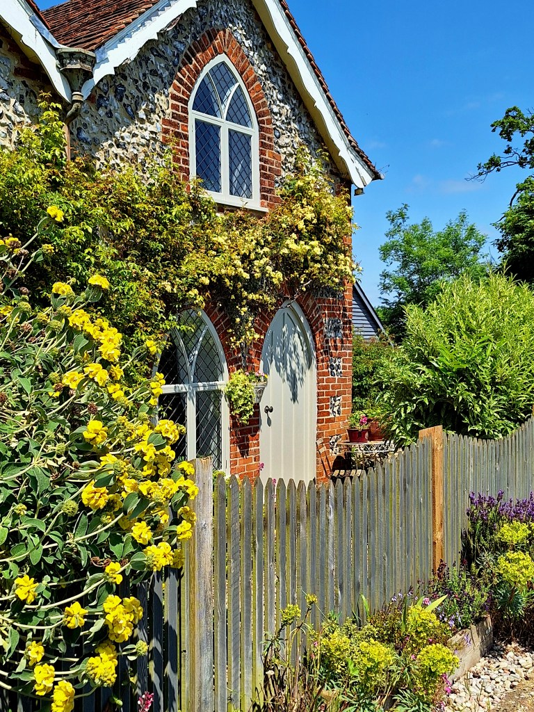
A pretty village full of thatched cottages, but sadly lacking in food. No sandwiches, they were out of sliced meats and cheeses. But they had one locally made Cornish pasty. Gotta give that a go then, plus a banana and a snicker
The lady in the shop asked me if I was enjoying the walk… no? Probably yes, with a day pack, with more visible history and company to while away the miles…
I was definitely struggling to identify my favourite bits, which I can normally do
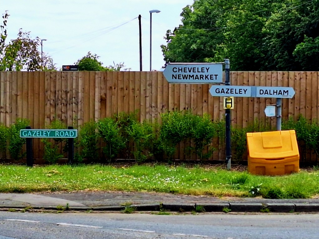
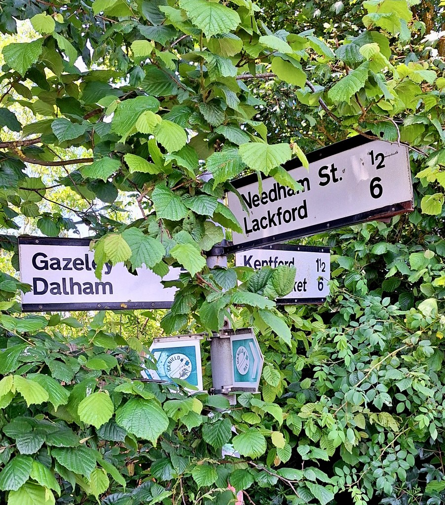
The next stretch to Gazely was interesting. A long diversion, possibly to stay off the road. There was much road walking from here. But it also passes Dalham Hall, home of Cecil Rhodes. The Church also contains the remains of a medieval nave, which depicts the seven deadly sins
I wasn’t sure whether it was worth the extra miles. Basically, 3 1/4 miles by road, closer to 5 miles following the Icknield Way Trail. Walk like a Roman I say and take the most direct route. I saved myself a good couple of miles and time, road is faster to walk on

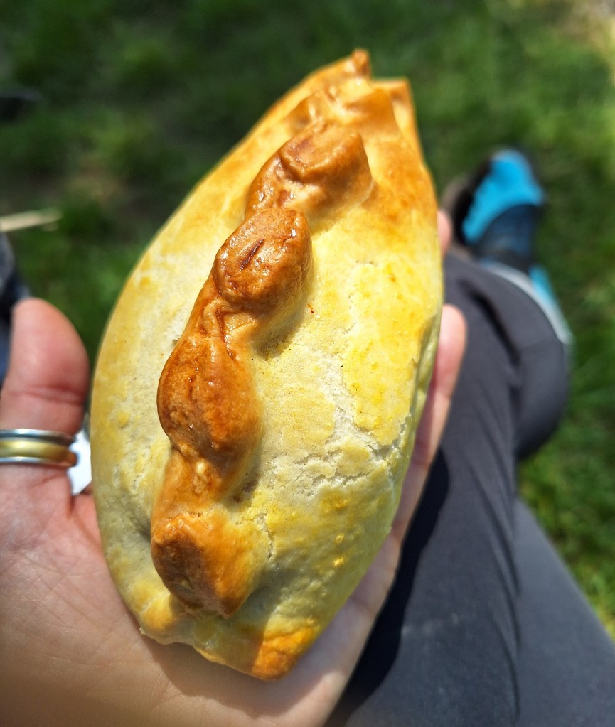
Gazeley was lunch stop, to try this local pasty. Small but perfectly formed, nice crimp in the pastry, meat and gravy. I found a pea, and I think they used frozen veg. But very edible and quite tasty. I would give it 7/10
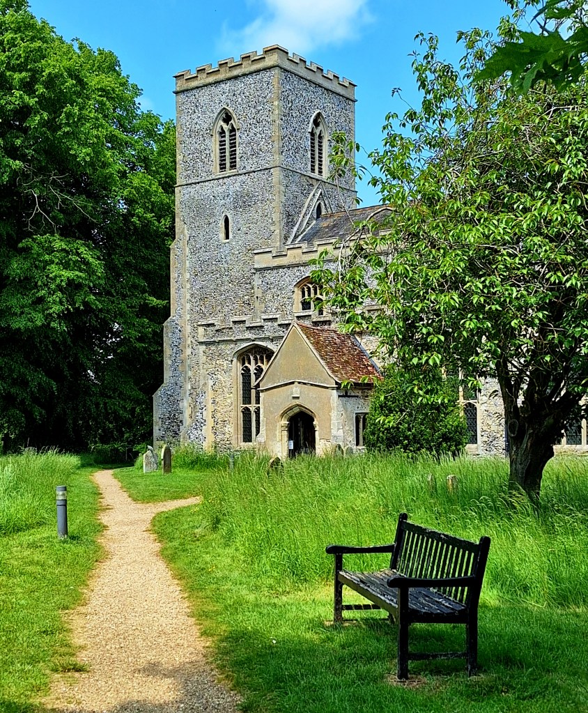
According to my guide, the church is always open and has tea and coffee making facilities. It does not, well it had a kettle
By now I had walked 12.22 miles and had the same to do again. Lots of byways and highways from here on. After Gazeley signage is poor and pretty none existant, I recommend a map

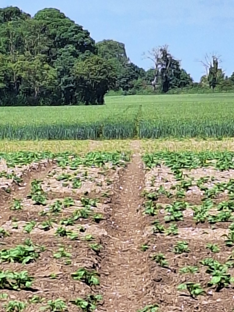
I missed a turning, after Needham Hall. Go left across potato and barley fields to cross the B1506 and A14
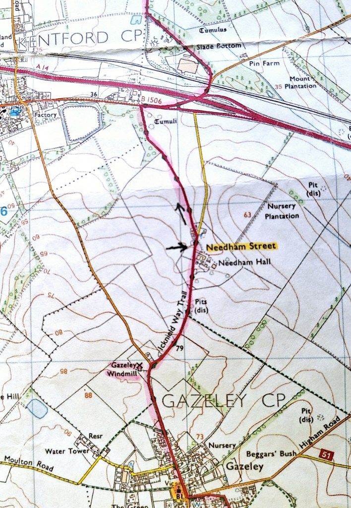
Signs pointed into a cycle park, then vanished. If you walk parallel to the road along their hedge, you will pick up the path again under the main road, which follows a byway past an asphalt works.
The trail continues on dirt by ways, with no shade, passing Pig farms. Here I met Noel and his dog, a spanoodle type thing, who told me a tale of an escaped baby pig. We swapped piggy stories before going our separate ways

The trail turned onto woodland trails, which gave me some respite from the heat.

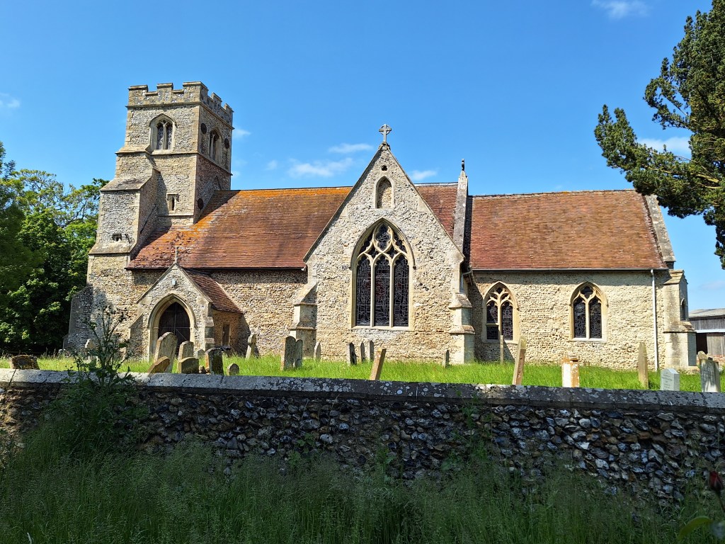
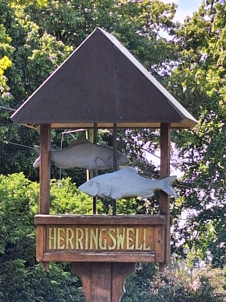
At Herringswell, a quiet, pretty little village, I was running on fumes and feeling it in my feet. I needed another fix of the holy coffee. But the church was locked, and my snicker would have to suffice
There are no shops here, or in the next two villages of Tuddenham and Icklingham. There is a pub at Tuddenham and a sign for a farm shop and cafe. But it was closed Wednesday.

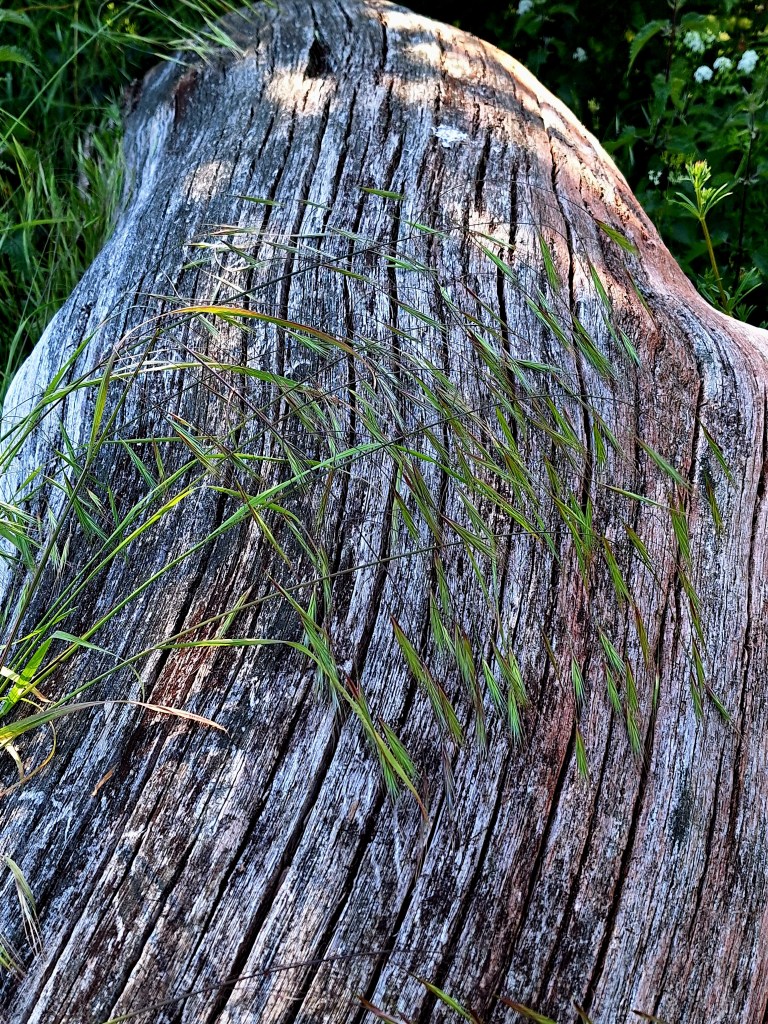
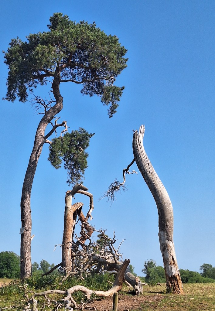
After Tuddenham, the trail heads through Cavenham Heath National Nature Reserve, where I paused to rest on a very nice log
Now, in the Breckland, the landscape and soil change, from rocky chalk to sand and heathland. It’s hard to see how people survived here. It is thought that it became heathland after the ‘slash and burn’ approach of early man
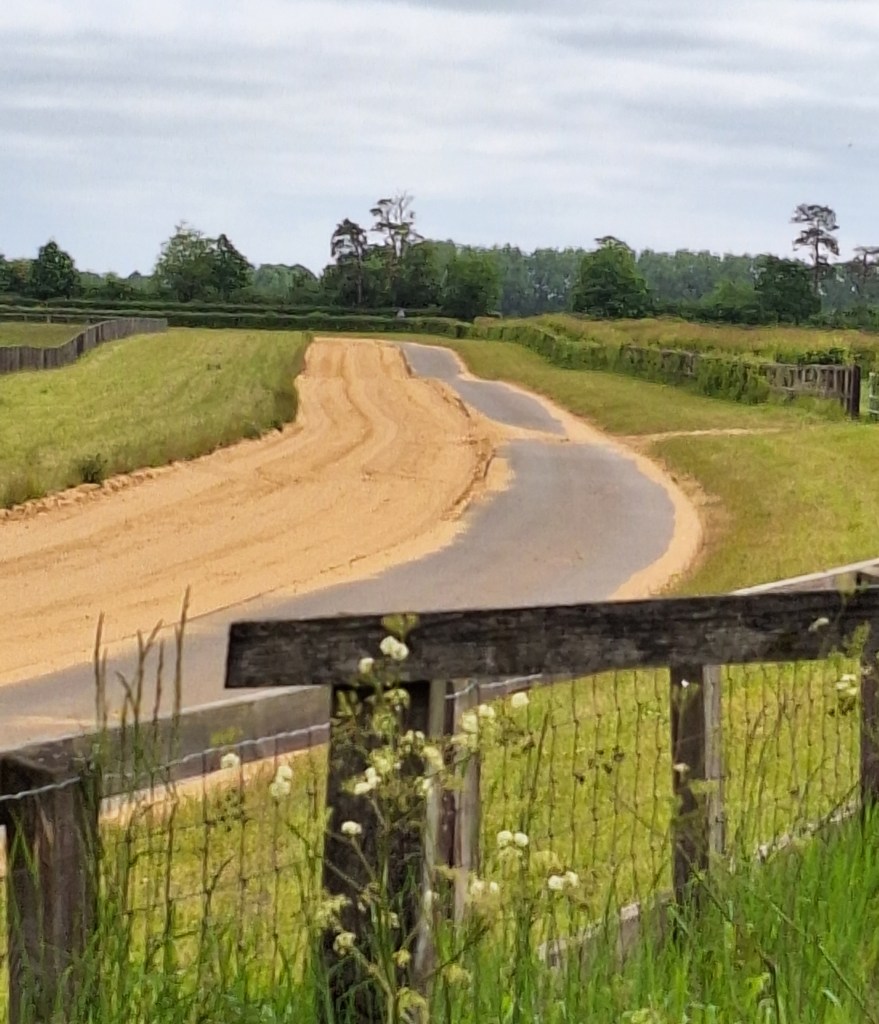
Today, much of the area has been reduced to desert from overgrazing by rabbits. Indeed, I walked on Paths more reminiscent of a sandy beach
The Forestry Commision have been aforesting the area since 1922.
The trail crossed the River Lark to Icklingham, I had two more miles to walk.
Iron age broaches and coins have been found in this area. From both the Iceni and Cataluvellauni

With the ‘Kings Forest’ coming into view, I put one foot in front of the other, the promise of rest drawing me onward to arrive at camp 5.45 pm. A well-earned rest day for me tomorrow
If you would like to walk some or all of these stages with me, please feel free to get in touch
If you want to catch up on the story so far see the link: https://wordpress.com/post/fern-weh.uk/753
If you enjoy my tales you may wish to consider buying me a Coffee.
ko-fi.com/fernweh
Thank you, I will need them…

Leave a comment