Monday 24th June 2024
Day 10: WAW Mulranny to Doohoma Head (Ceann Ramhar)
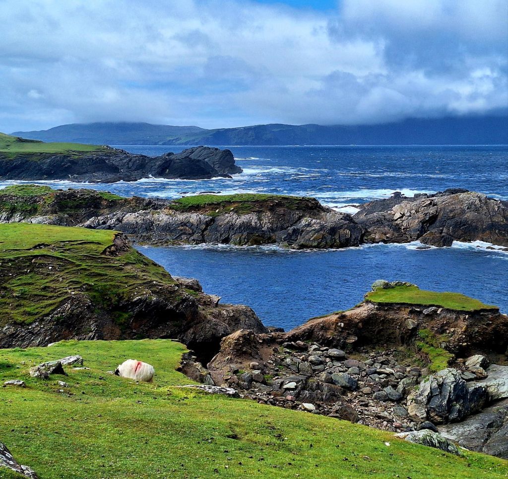
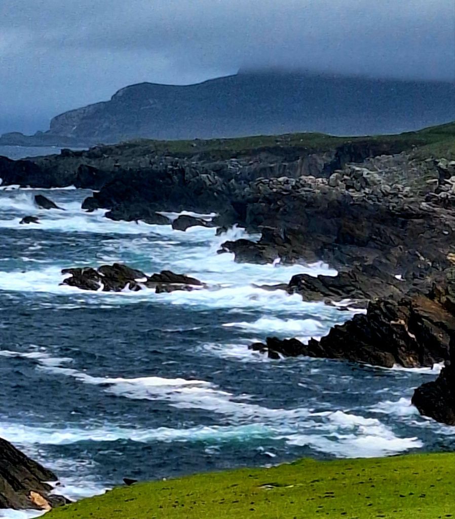
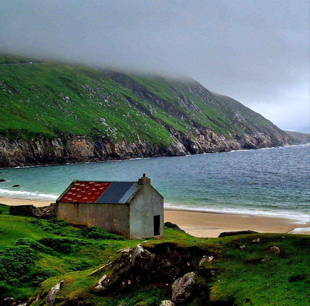
It’s been a very Wild Atlantic day today, I can see why this coast gets it’s name. There were strong winds and rain in the night, and I woke to an overcast morning. The distant mountains were still shrouded in blankets
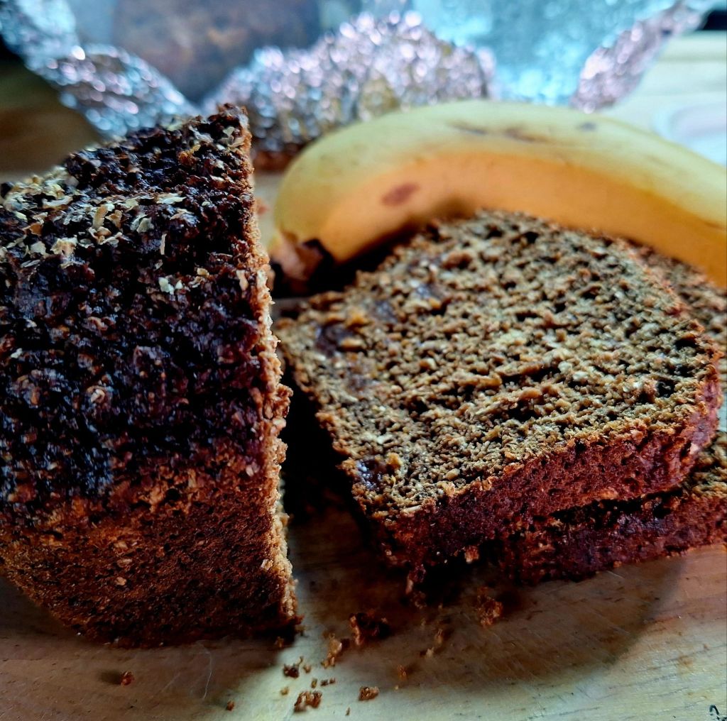
A hearty breakfast was called for, Irish treacle bread and a banana
I’m not far from my end point, Belmullet, but it was a deceptively long day. The last two stages are loops, around the Corraun Peninsular and Achill Island.
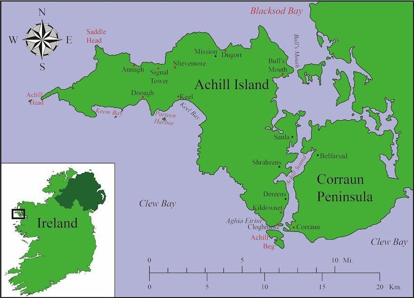
It’s connected by a causeway, and it definitely takes a day to explore. I’ve probably driven well over 70 miles today, leaving Mulranny at 9:30 AM and arriving at Doohoma Head by 4 PM.
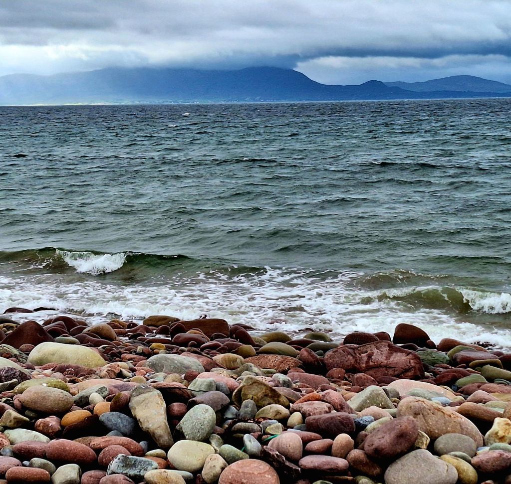
Today, the route was reminiscent of the south WAW, and in my opinion, offered some of the best scenery to drive through. The Spanish Armada Viewpoint provides views of Clew Bay to the south and Clare Island to the south-west.
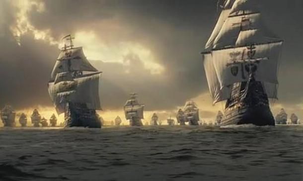
Named after the Spanish ships, the San Nicolas Prodaneli and El Gran Grin, that sank at the mouth of Clew Bay in 1588. It was thought that only sixteen sailors survived, and a plaque commemorates these tragedies.
The Tower House at Kildavnet, in the south-east corner of Achill Island, is known locally as Grace O’Malley’s Castle. It is 40ft high, has three storeys, and is an example of a 15th-century Irish tower.
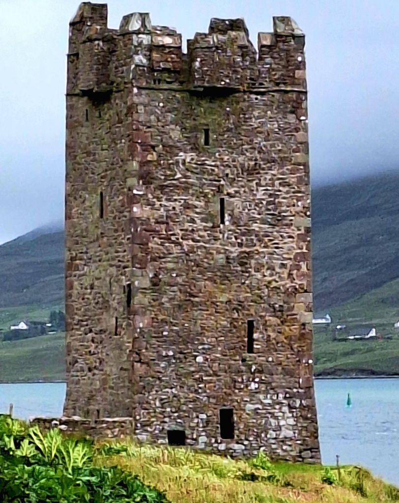
It had strategic importance at the mouth of Achill Sound, protecting the passage that connects Clew Bay with Blacksod Bay. It was thought to have been built by the Clan O’Malley in about 1429. However, locals associate it with a descendant, Grace O’Malley or Granuaile, a legendary pirate queen, thought to have been born around 1530.
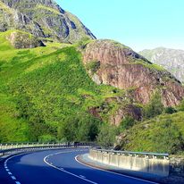
On and on, around long winding roads, with the wild Atlantic waves to the left and the rugged hills and mountains to my right. The roads were so close to the sea in places, I could have dipped my toe in.
Black-headed Scottish Sheep roam the landscape, and they may move out of the road if they are so inclined. Skylarks sing above, and ocean views drop off the horizon—next stop, America.
Now at Ashlean Head, this is the land of the Irish Chough, and a small squad flew over my head, with their distinctive call, red beaks, and feet.
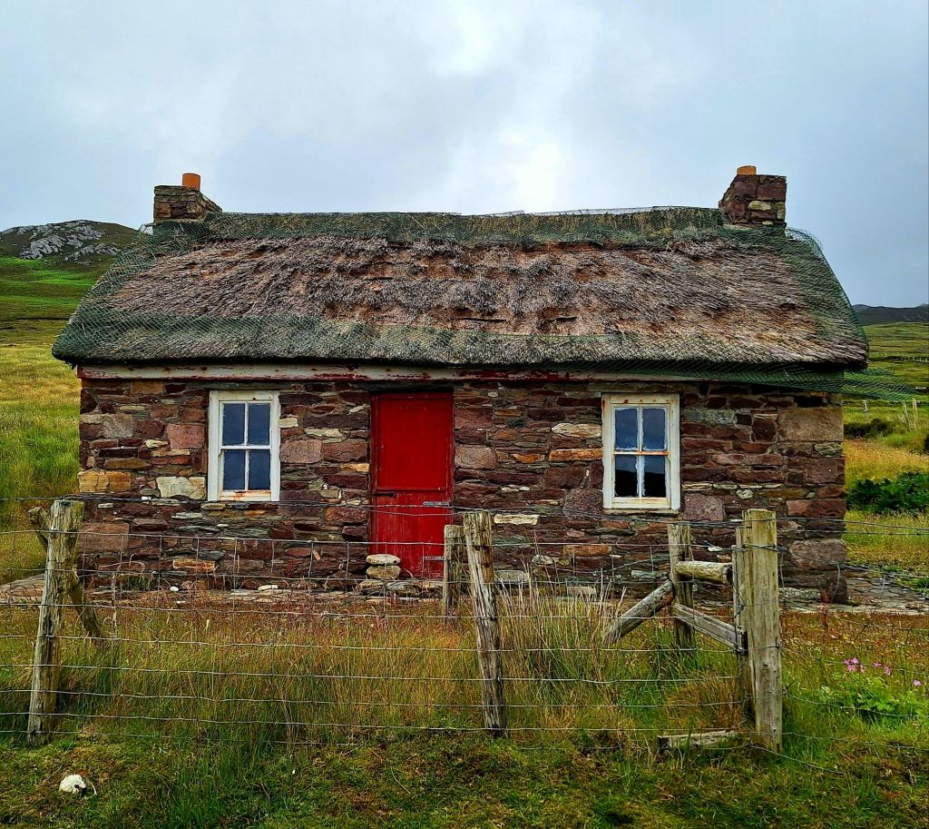
There is a plaque here, ‘Mna Acla,’ a tribute to the Achill women who endured hardship and loneliness. Many of the men of Achill were forced to emigrate to find work and left the women behind to continue working the land.
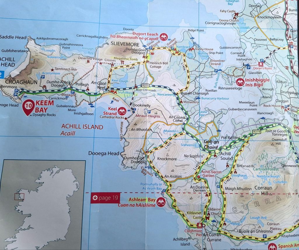
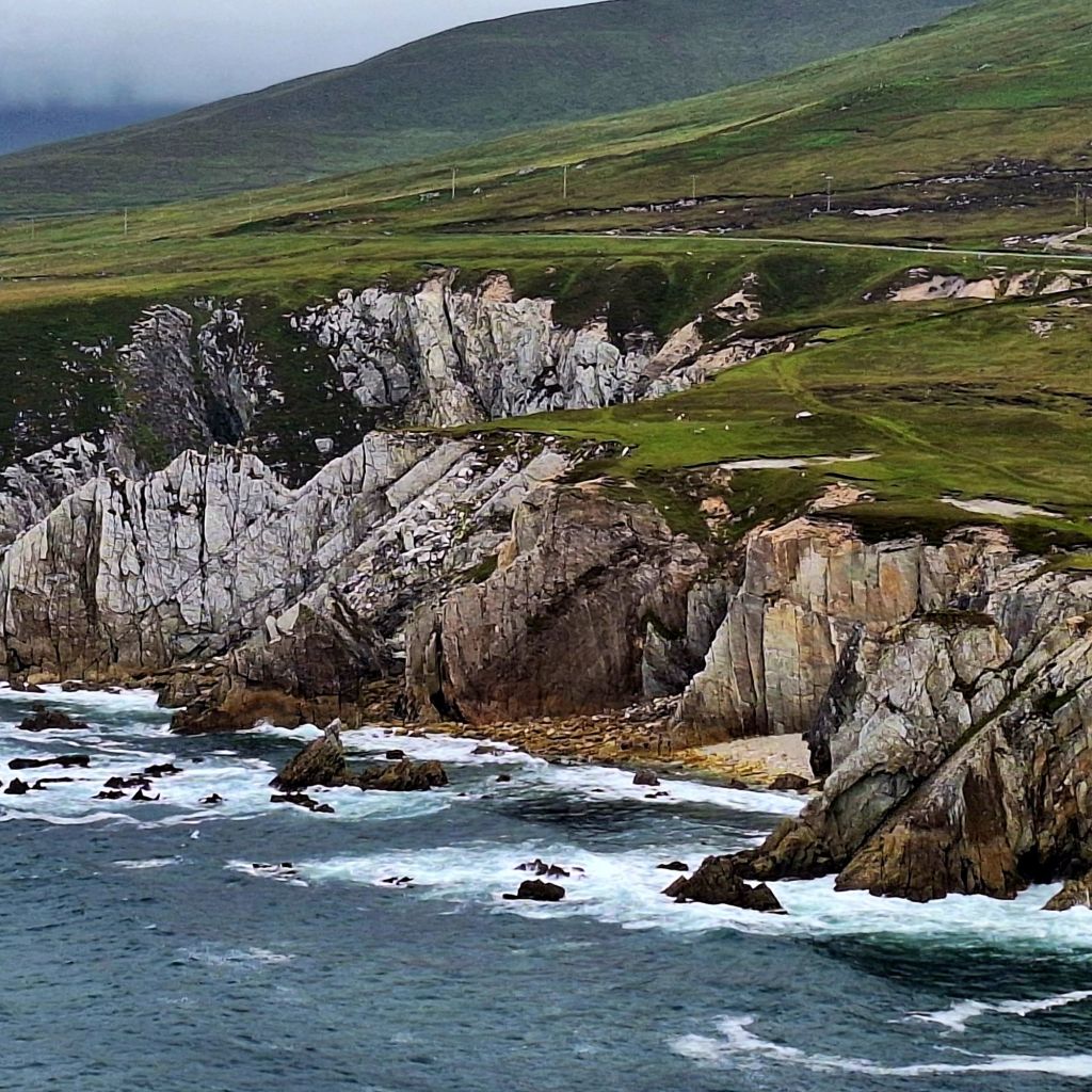
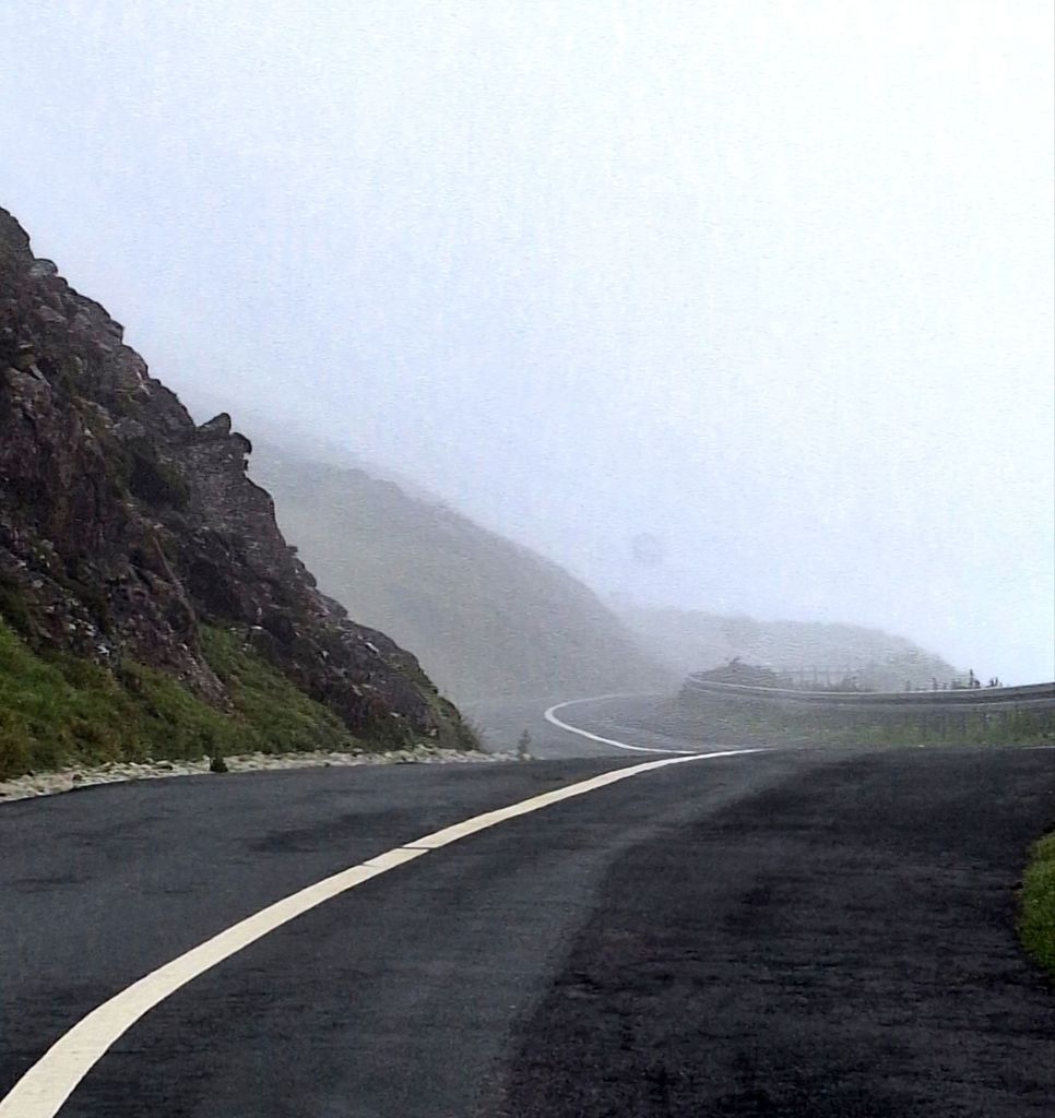
The road to Keem Bay is a spectacular drive along rugged white cliffs, with the Wild Atlantic waves crashing onto the rocks. The road disappears up into the clouds, over Benmore, then emerges on the other side to reveal views down into the now famous Bay.
Keem Bay the film location for The Banshees of Inisherin.
A coffee wagon provided a much-needed hot drink. I stayed a while, chatting to other visitors, including a lady whose brother lived in Camborne.
Keem Bay is well worth the route out and back. It’s probably very busy in the summer, less so on a wild day like today. The route then travels around the other side of the island back to the main route.
A brief pause to grab an Irish Breakfast bap and a quick walk up to a Megalithic Tomb, then onto Slievemore Bay to eat my brunch. This was probably my best and yet another missed opportunity for a swim. Silver Strand and Golden Strand had lovely sheltered bays with calm waters.
But, I had a delicious breakfast bap, and I told myself there would be other swim opportunities. There weren’t; the seas got wilder. Seize those swim opportunities! I passed lots of tranquil bays, but with no access to them.
There is a campsite at Golden Strand, oddly named ‘Seal Cave Campsite’, right on the beach. But on I went, determined to get as far as possible today. I only have another day left on the WAW before I need to start making my way back across to Dublin. I’m booked in for Newgrange Wednesday morning.
It took me a while to drive back off the island. Then, once back at Mulranny, it’s a long undulating moorland road to Claggan View. You can park and walk up into the mountains from here. It was full, so I kept going, stopping briefly at Dorans Point. I think you can get a ferry here to Inishbiggle Island
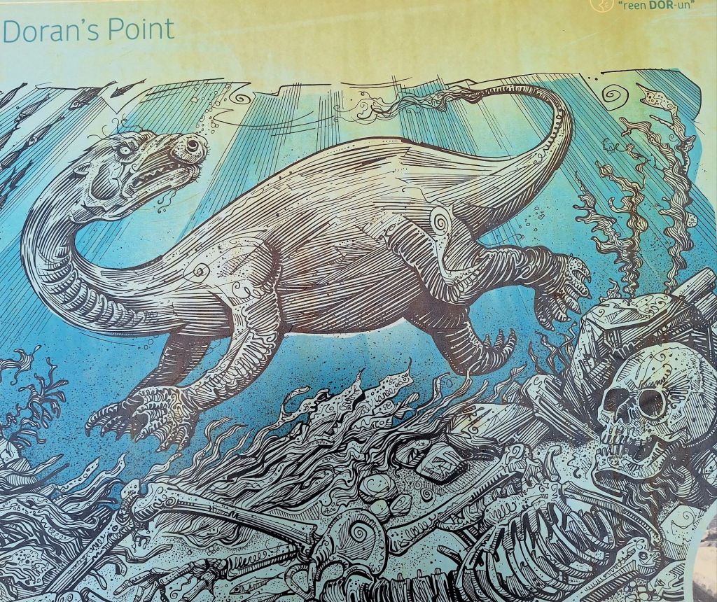
It’s also associated with sightings of The Dobhar-chú (‘water dog’ or ‘water hound’, or King Otter), a creature of Irish folklore. It resembles both a dog and an otter, sometimes described as half dog, half fish, lives in water, and has fur with protective properties.
Driving on, I found myself on the outskirts of Bangor Erris (Baingear). Tired, I drove on to Doohoma Head, where I parked for the night. A large camper van to my left protected me from the prevailing wind.
A ‘short nap’ left me waking up at 7:30 PM. It was now lashing down, the sea wild, and no chance of a swim. So, I invented a new delicacy: mac and cheese with Irish Treacle bread for tea. Then, I turned my thoughts to places to stop en route to Dublin.

Leave a comment