Sunday 16th June 2024
Day 2: WAW – Tullagh Strand to Carrickart (Carraig Airt)
It was a restless night. I didn’t get to sleep until quite late, absorbed in my book, and it was still bright outside. It wasn’t until I checked the time that I realised it was 10:30 PM. I know we’re at the northernmost point in Ireland, but still, the constant light was unexpected. Waking in the middle of the night, I could still make out a faint orb on the horizon, enough light to be either dusk or dawn.
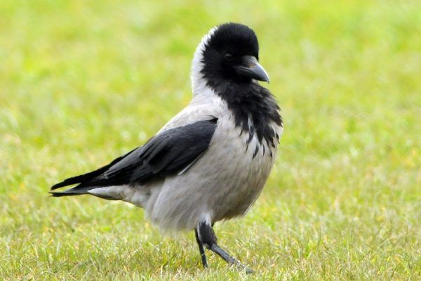
Morning arrived early, heralded by the distinct call of a raven, or perhaps a hooded crow. I’ve seen a few of these beautiful birds around since my arrival
The weather was broody and the forecast was rain. I was reluctant to get going. Perhaps my mood was mirroring the weather or preoccupied?
Yesterday, I kept noticing a burning smell and feared that the previous days ferry dash might have done some harm to the van.
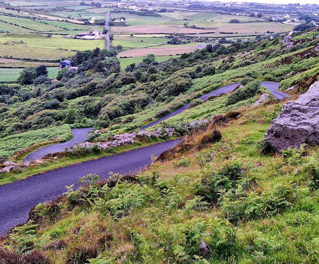
Tackling the Gap of Mamore
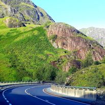
The first part of today’s route involved heading up and over the Gap of Mamore. Whenever ‘Gap’ is mentioned in Ireland, you know you need to buckle up and put your big pants on. The thought of driving over it in the rain, with the potential of breaking down, filled me with dread. My nerves were still in tatters from nearly missing the ferry.
The pass is located in the Urris Hills, and for a long time, this narrow road has been the only connection between Urris and Buncrana. My guide recommended, “to enjoy the Gap of Mamore in all its glory, you should approach the pass from the south.” Great, I was travelling north to south, meaning I’d be taking on the ascent with its gradient of almost 30%. Apparently, once you cross the ridge, you’re rewarded with a breathtaking view. Better crack on then…
Fortunately, the rain held off as I negotiated the hairpin bends, praying I didn’t meet one of the speeding locals, or worse, a motorhome.
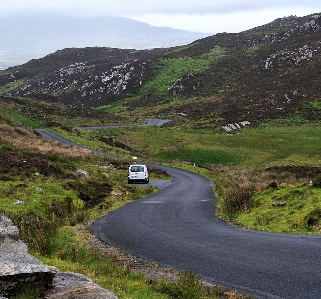
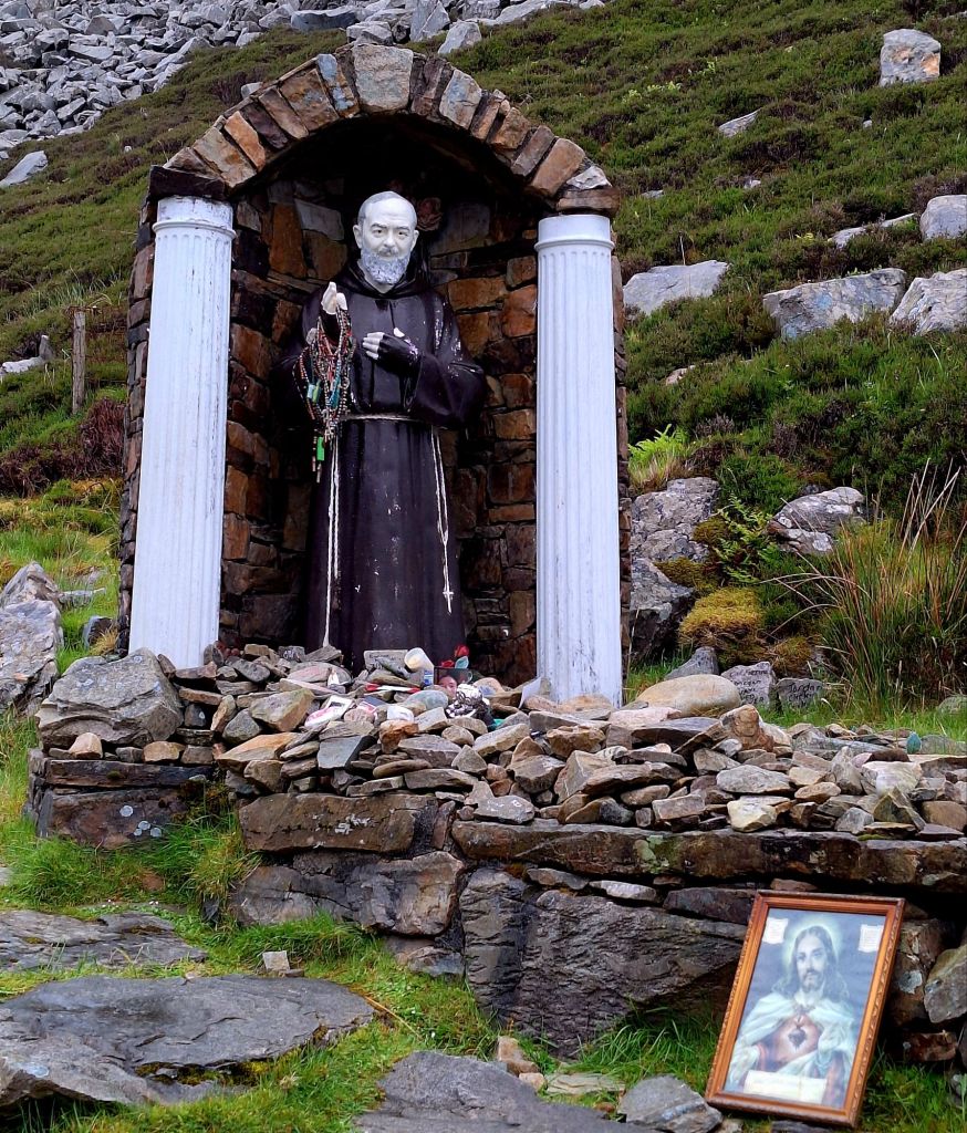
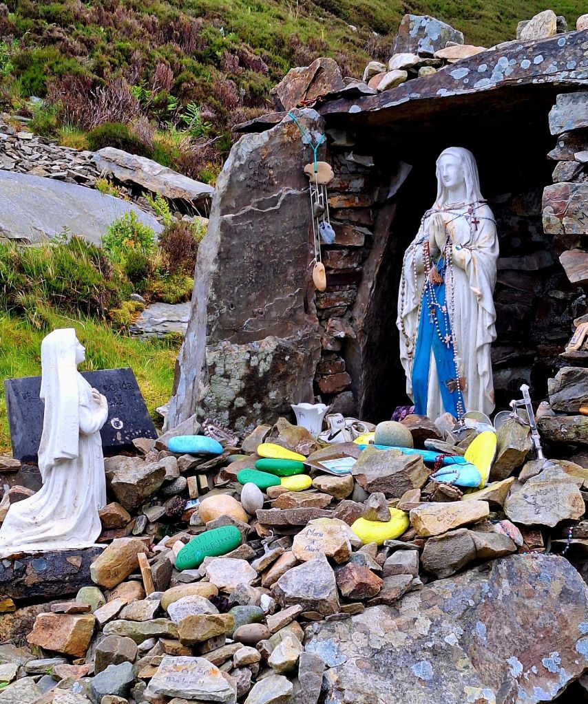
Smelling burning again, I stopped halfway up and sniff-tested the brakes. It seemed like a good idea, and thankfully, they seemed fine. I also said a silent prayer at the shrine there. Well, it can’t hurt.
Coming down the other side, safe and sound, I somehow missed Dunree Head. I was probably still trying to find my zen and get used to Ireland’s roads and speed limits (kph).
While the Wild Atlantic Way is well signposted with both main routes and ‘by-routes’, you still need to actively navigate to specific points of interest, or it’s easy to miss them.
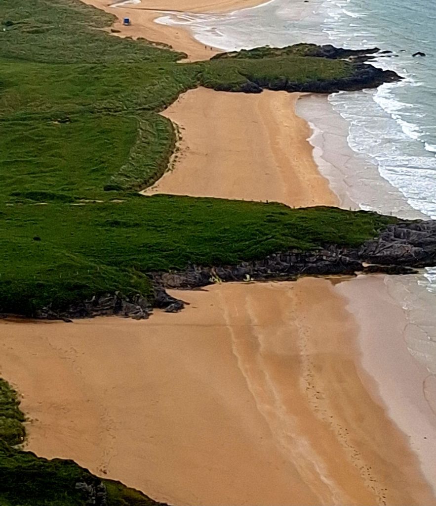
A welcome stop at Listannon Beach provided a break. A guy in front of me, for reasons only known to him, decided to park on top of a sandbank. I presume it was to get a better view of the beach?
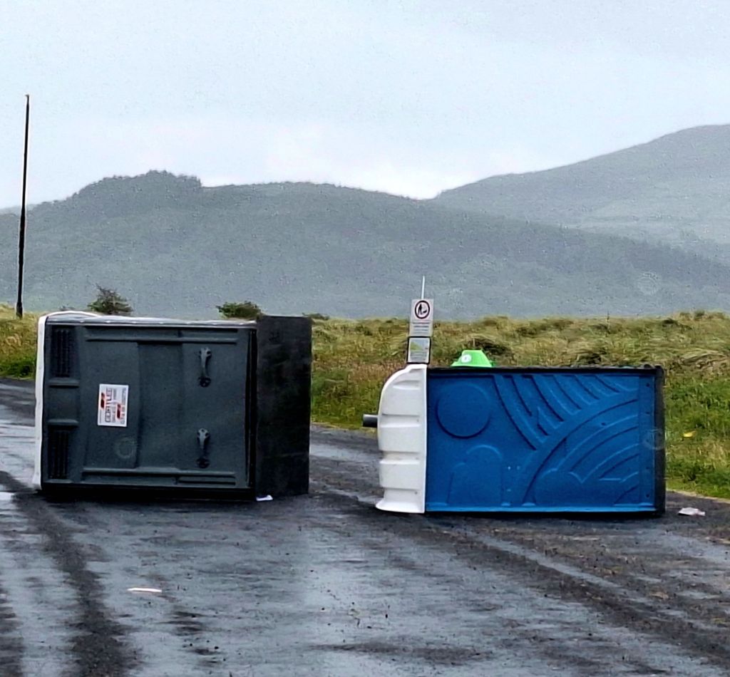
I enjoyed watching him try to dig himself out after his wheels completely bedded themselves in. I’m glad I’m not the only victim of misadventure! He was eventually rescued by another guy who pushed him off.
A little further on, Inch Island, a nature reserve, offered a welcome chance to get out and stretch my legs. There are some nice trails to explore and bird hides along the route.
Today’s bird “listening” treats included wrens (of course), Sandwich Tern, Black-Headed Gull, Robin, and a “Barn Swallow”—I’ve never heard them called that before! I also heard Reed Bunting, Willow Warbler, Meadow Pipit, Tree Creeper, and Spotted Flycatcher… wow.
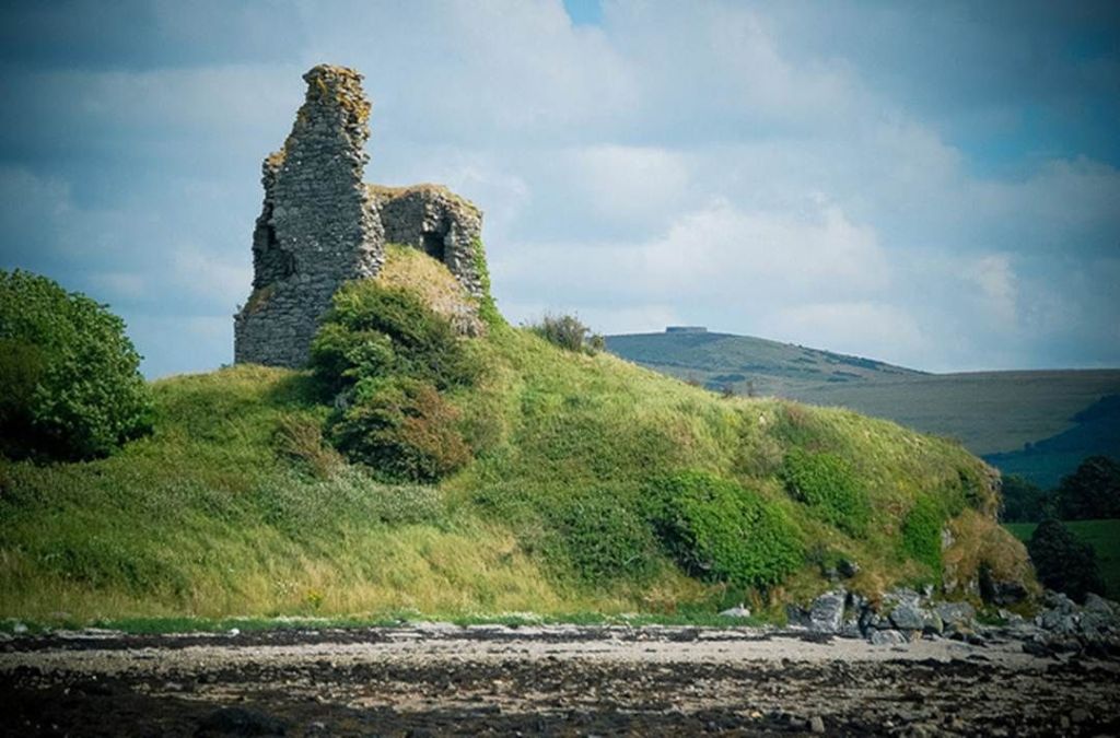
There’s also a castle, but with no public access, it’s just a distant view. You’d definitely need binoculars to see it properly, so I “stole” a picture from Google again.
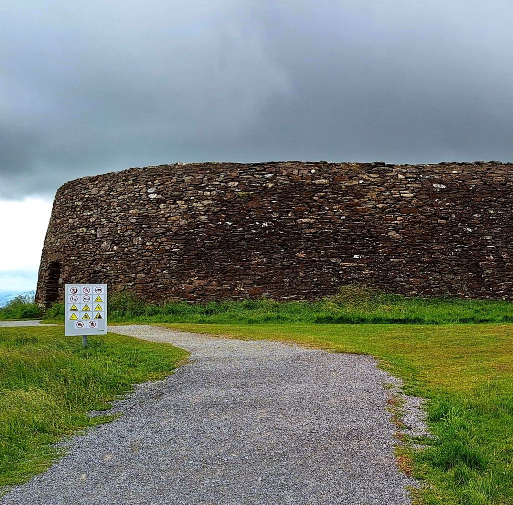
An Unexpected Detour to An Grianan Ailigh
Leaving the island, I stumbled across a coffee van called Curious Coffee, just across the main road at Bridgend. The two young ladies working there suggested I visit ‘An Grianan Ailigh’, a Stone Fort. From their accents, I could just about gather that it was quite the drive, but they had managed it. I reflected on Mamore Gap, but they assured me I would be fine.
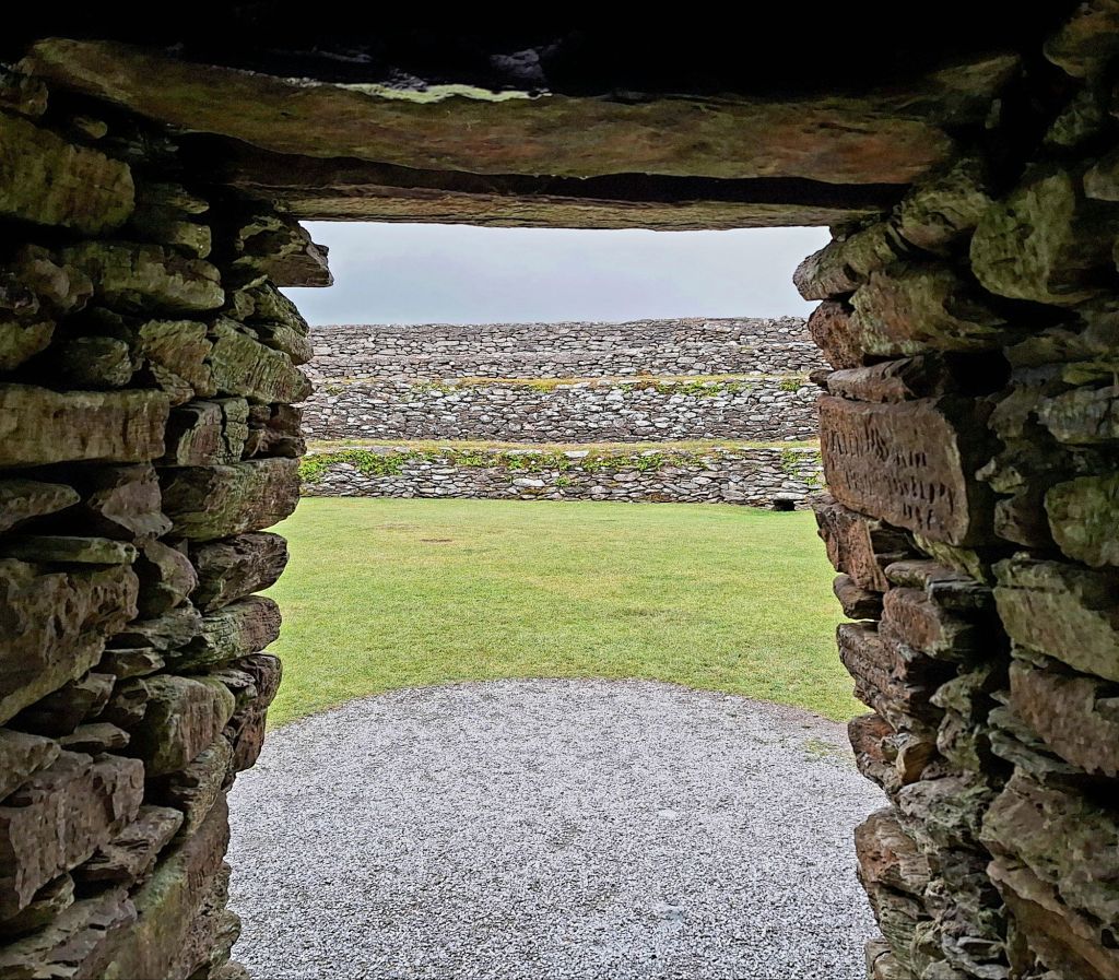
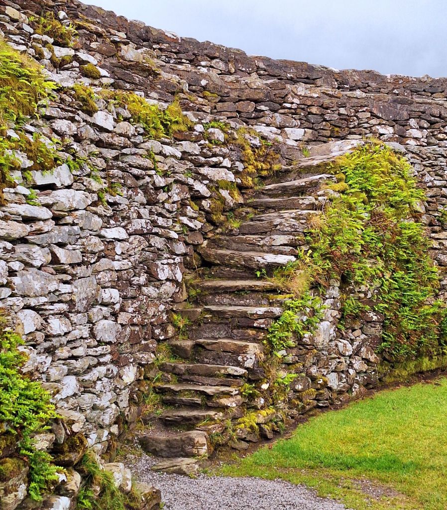
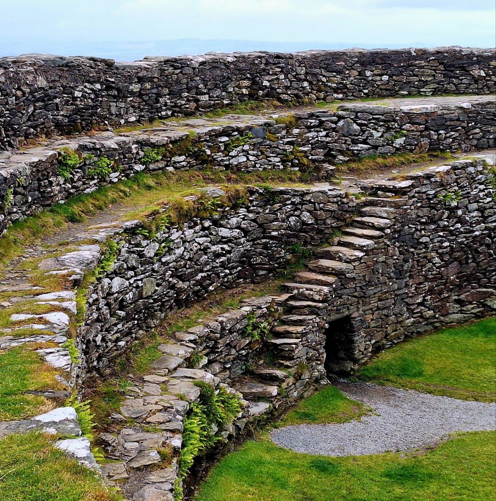
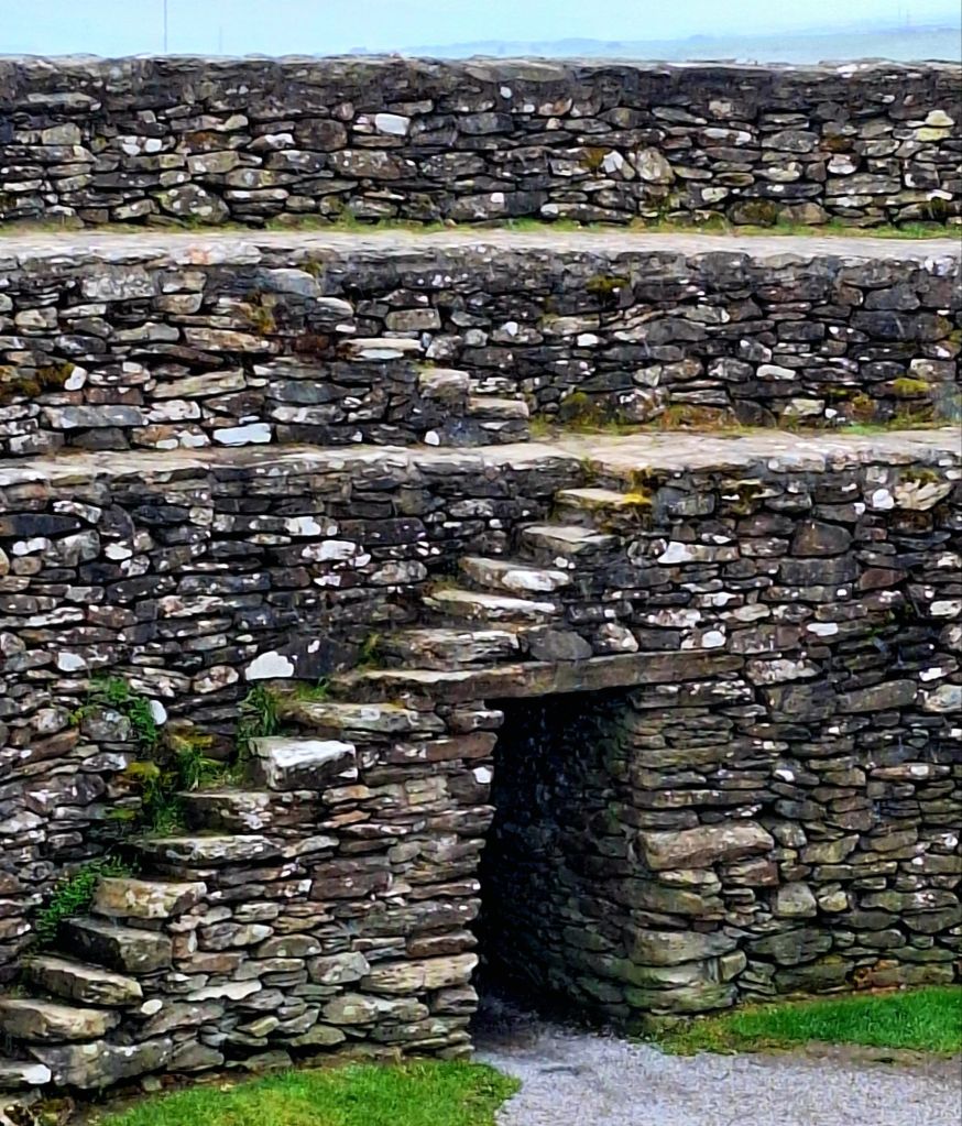
Well, it was worth the steep, rollercoaster drive to the top. The Grianan of Aileach is a hill fort atop the 244-meter (801 ft) high Greenan Mountain in Inishowen, County Donegal.
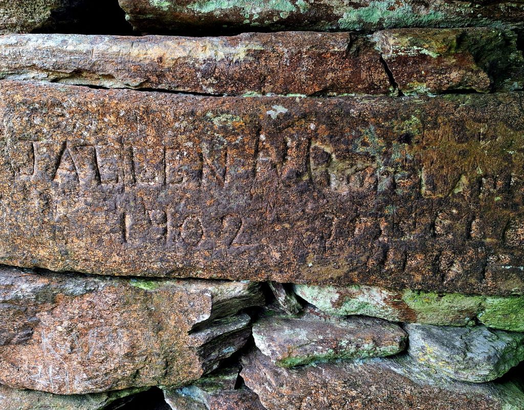
On my previous visit to Ireland, I had visited a couple of these, but that’s another story involving Patrick and his lamb…
The weather was now closing in, so I didn’t stay long. An Irish chap from Dublin engaged me in conversation as I was leaving. I now know his life history, but he did tell me that the church below, on the main road, was designed to replicate the fort.
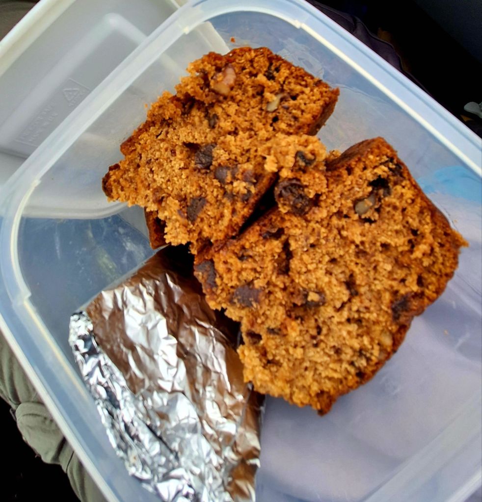
By the time I reached Manorcunningham viewpoint, it was lashing down. There was no view to be had, but it was a good time to stop, drink my coffee, and enjoy some of Gilly’s fine fruit and walnut travel cake.
Today’s route essentially circumnavigated Lough Swilly. The journey involved a lot of main road driving initially, but that changed after Letterkenny, with the roads becoming more interesting and rural. There were some lovely views alongside the lough from Ramelton, revealing plenty of prime swimming and paddleboard spots, though sadly, no public access.
Further down, Rathmullan marked the departure point for the Flight of the Earls in 1607. This event, primarily a consequence of their defeat by the English at the Battle of Kinsale in 1601, effectively ended the old Gaelic order as they went into permanent exile.
The drive offered fantastic coastal views leading to Ballymastoker Strand. As the road hugged the base of Knockalla Mountain, it brought more climbs and hairpin bends.
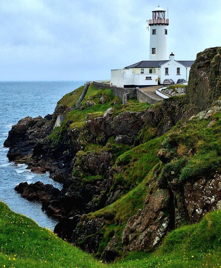
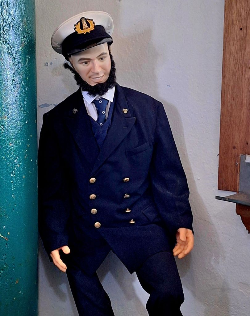
Fanad Head and its Iconic Lighthouse
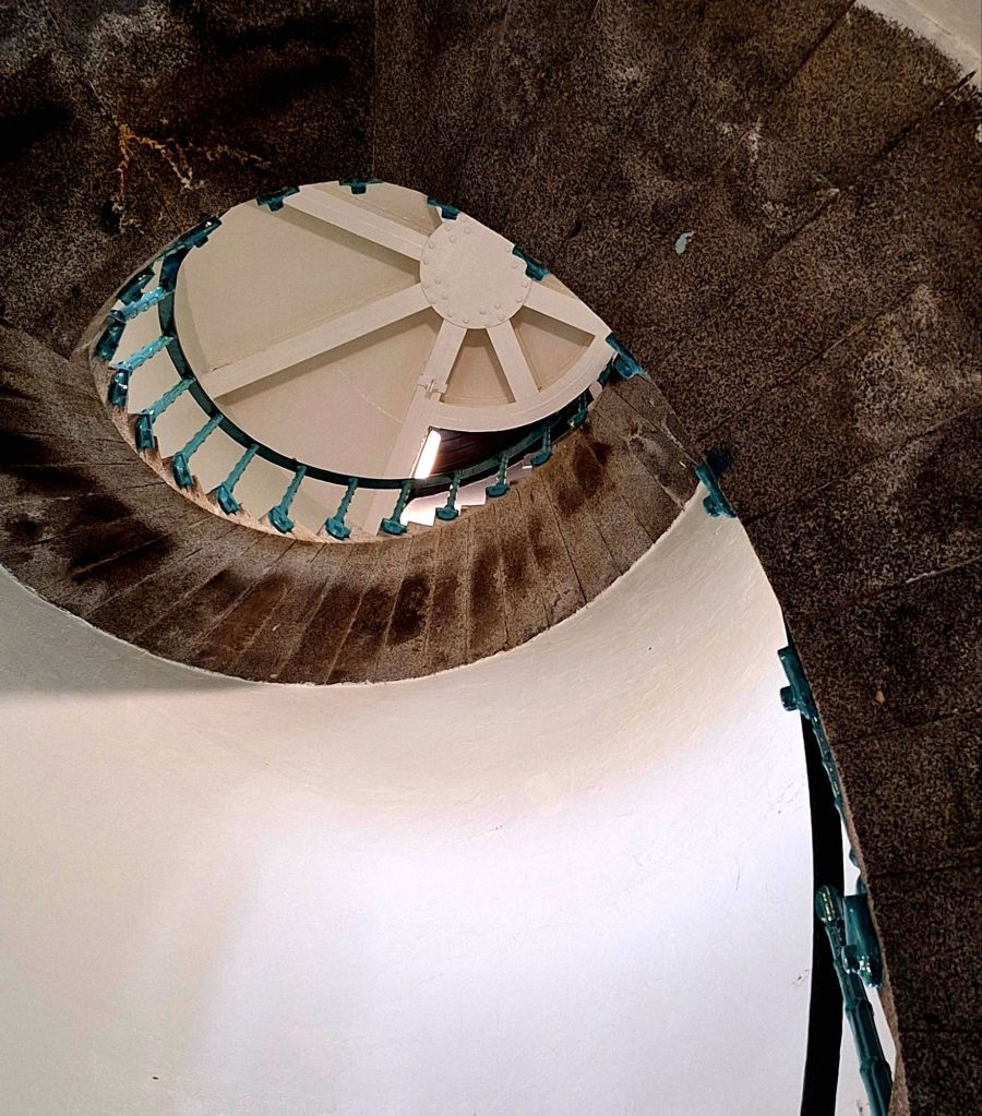
Last on today’s itinerary was Fanad Head (Cionn Fhánaide) and its iconic lighthouse. I’m not usually one for guided tours, but I genuinely recommend this one. Partly, that’s because you can’t access the lighthouse without a ticket.
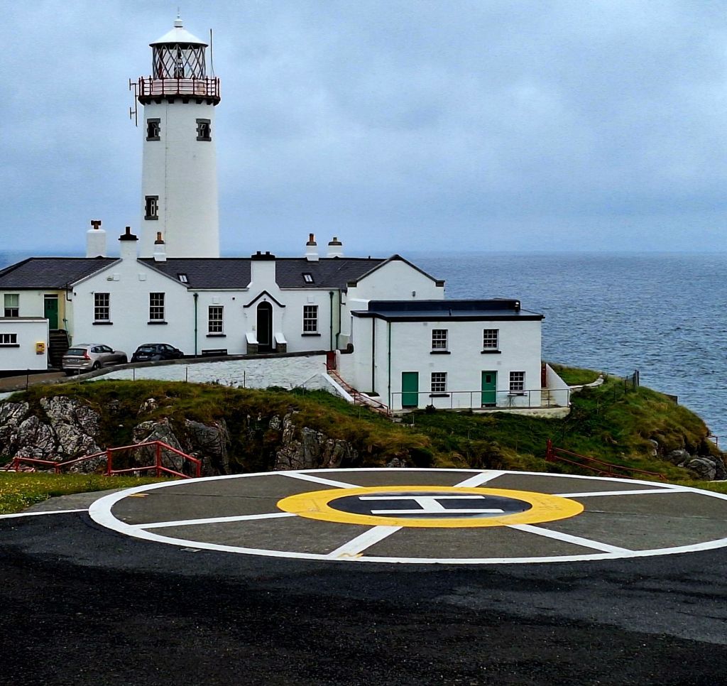
The tour was really interesting, and it was easier than reading all the information boards, and you get to go right to the top of the lighthouse… cool
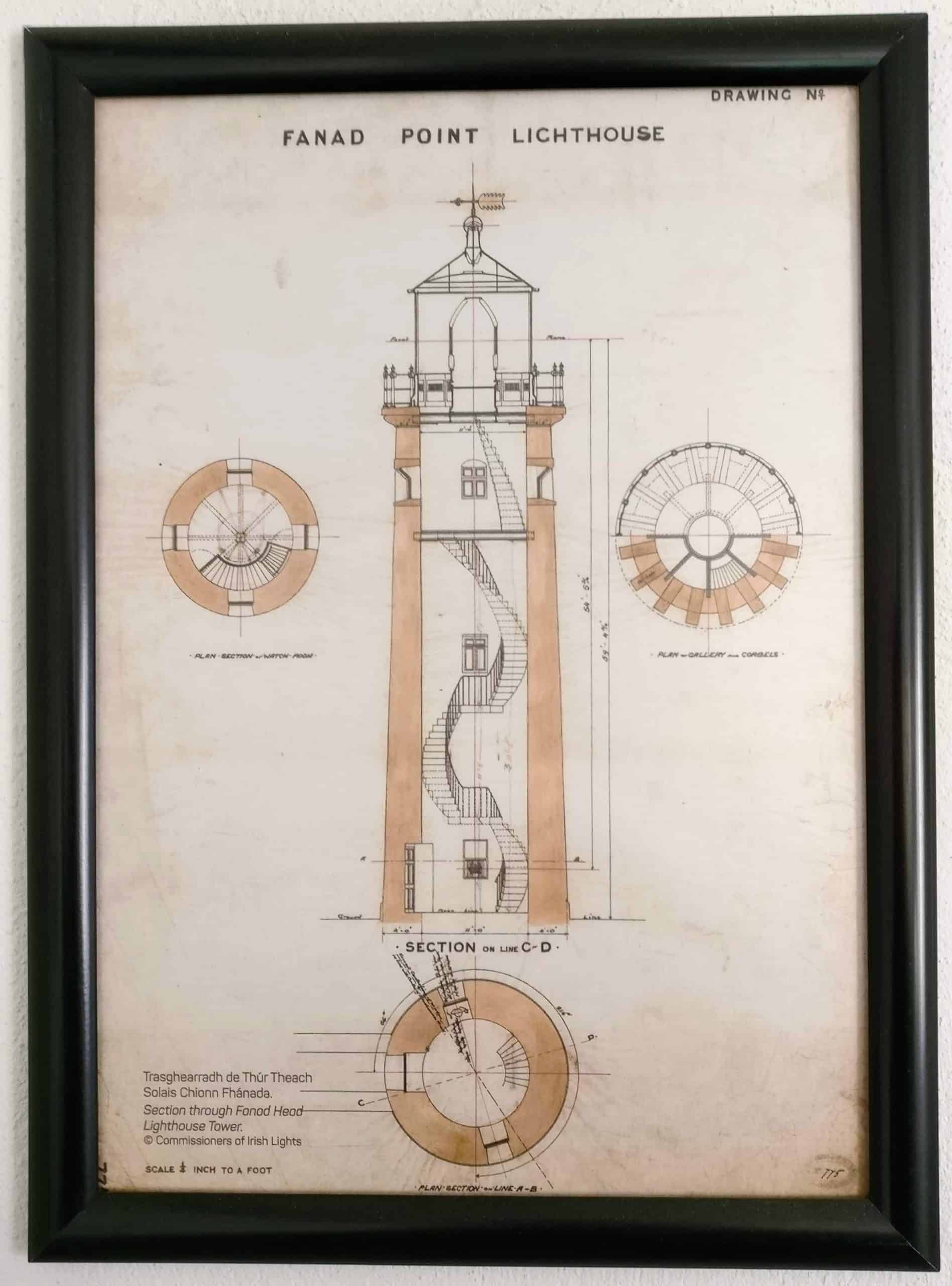
The lighthouse was built following the loss of the Saldanha in 1811. The Ship’s bell is said to be in Portsalon’s church tower. While the ship’s salvaged timbers are in the roof in Ramelton’s Town Hall
According to our guide, the Captain’s Parrot was the only survivor. It may have been shot by locals, who had never seen a parrot before. One theory suggests, that if it spoke English. Locals may have thought it was the devil and promptly dispatched it.
Also the SS Laurentic was struck here by two mines laid by the German submarine U-80. She sank within the hour, 354 men were lost. Over the next seven years, more than 5,000 dives were made by Royal Navy divers to recover the 3,211 gold ingots that were onboard. However, 22 bars have never been recovered…
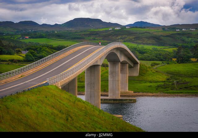
And on that note… I travelled a little further down the coast, crossing The Harry Blaney Bridge. This bridge spans Mulroy Bay, connecting the Rosguil and Fanad peninsulas of County Donegal.
My stop for the night, a small car park above Carrickart (Carraig Airt) Strand.
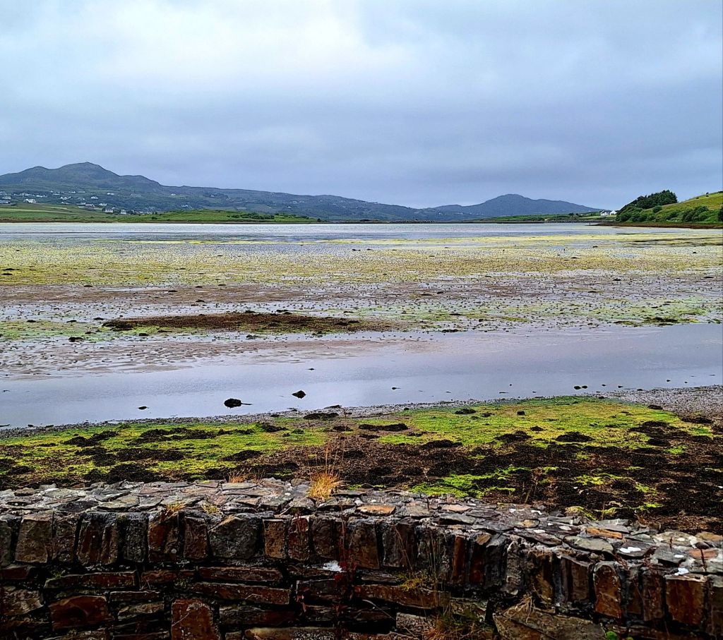
There were a few boy racers about, but I’m flanked by two big motor homes. It’s been a cold damp day, and now its blowing a hooley. There have been no issues parking overnight so far. No ticket machines, or signs saying no overnight parking. It’s all very laid back and welcoming
What’s the big issue UK?

Leave a comment