Friday 21st June 2024
Day 7: WAW – Easky Beach to Belmullet (Bèal an Mhuirthead)
It was a stormy night, lashing it down. Everyone else had disappeared, leaving me alone. They must have known something I didn’t, as it wasn’t the best night’s sleep with all the wind.
I’m still wondering where that “no parking” sign is, but I can’t see one. There’s a height barrier at the entrance to the car park – VW Transporters fit, but not motorhomes. Thankfully, the toilets remained open; usually, an invisible person locks them overnight.
The weather forecast was bad all day, which means mucky hiking tomorrow. I’m thinking full battle gear. The waves boomed against the cliffs, and I expected early surfers, but only one van came and went around 7 AM.
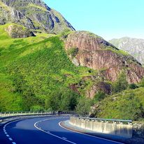
After salvaging a couple of overripe bananas for my breakfast smoothie, I left this dramatic landscape and hit the road. My map, ‘The Wild Atlantic Way Route Atlas,’ suggests stops and viewpoints, mostly panoramic headlands and strands. On a nice, sunny day, they’re generally worth a visit. However, along this stretch, the routes are out-and-back, which is time-consuming and, on a rainy day, a bit pointless and very testing B.C. (Before Coffee). I didn’t want to miss anything, but I needed to be selective about side quests today.
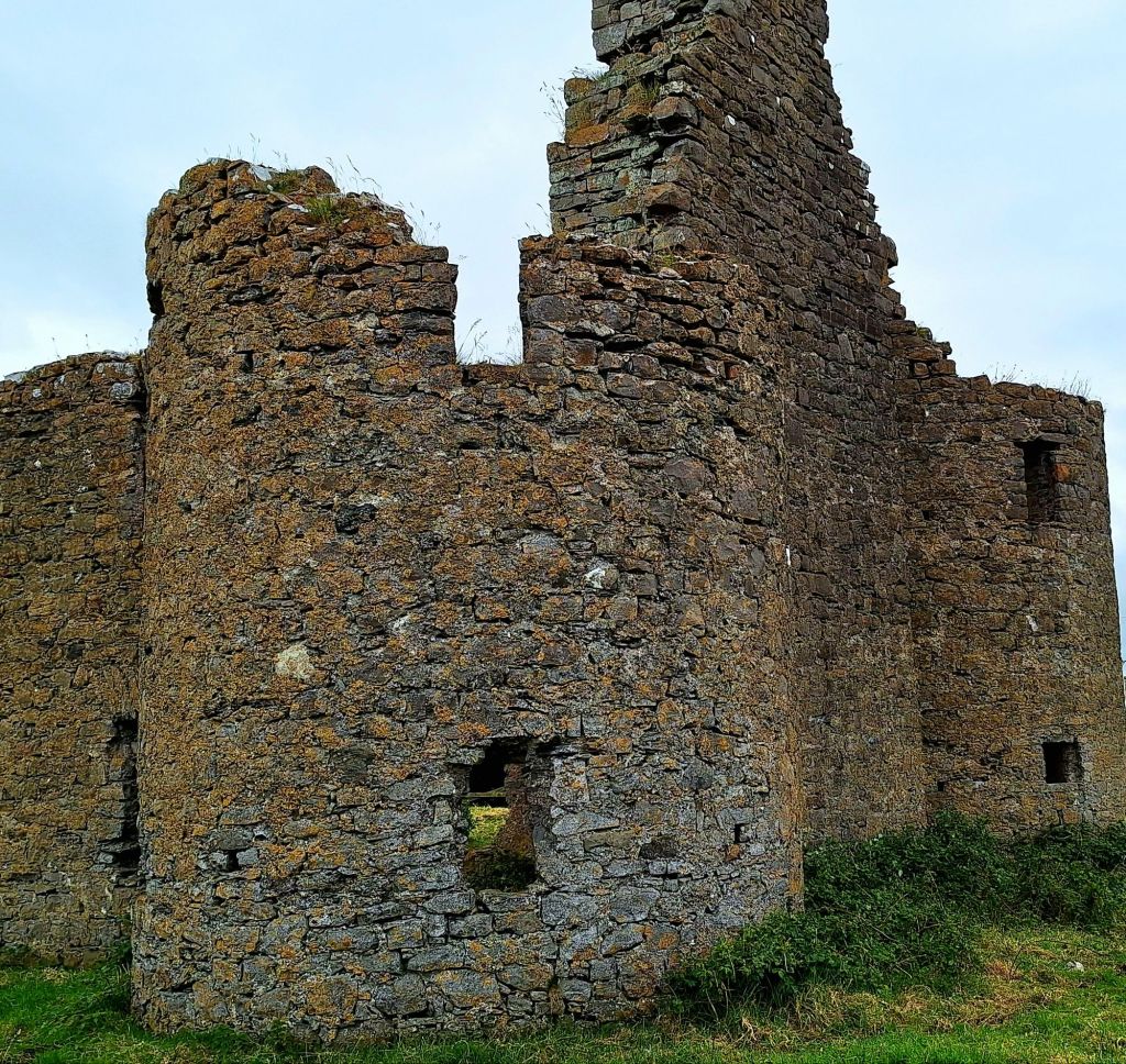
There was lots of driving. My first port of call was Iniscrone Castle, also known as Nolan’s Castle, an early 17th-century semi-fortified house or plantation castle.
Passing out of Sligo and into County Mayo at Ballina, the area promised plenty of Neolithic sights: a Stone Circle, Rathfran Abbey, and an Ogham Stone. While this felt like Neolithic central, slogging across boggy farmland in the lashing rain held no appeal.
Not a single cafe or coffee wagon appeared en route. By 11 o’clock, driving through floods, I was well past cakey tea time. Worse, my special travel cake rations were dwindling—a disaster! Please send help immediately.
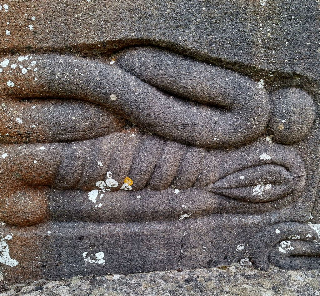
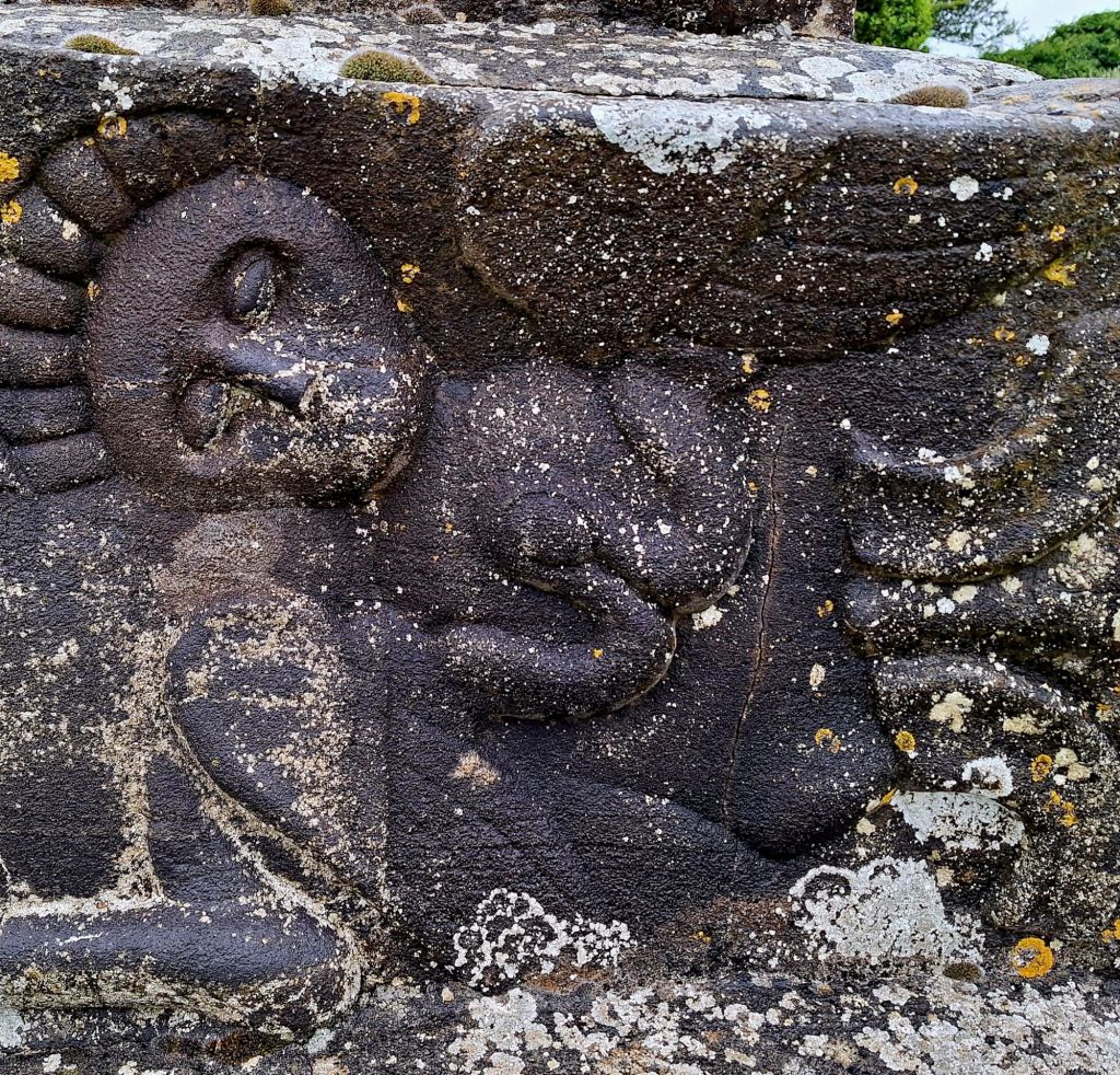
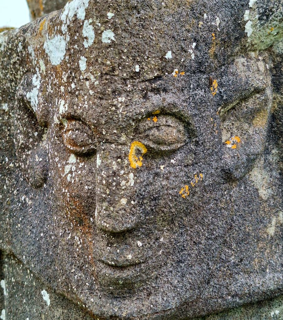
Just before Killala, I pushed through huge rusty gates to visit Crosspatrick Stone and Graveyard, a place with a strange and spooky folklore.
Killala Quay looked hopeful. There was a small parking area overlooking the bay. And a sign for a Cathedral and Round Tower. Surely there must be a cafe.
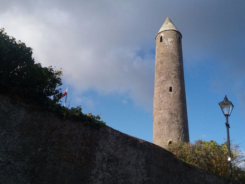
There was a tiny cafe on the main street leaving the town, but it was full of workmen repairing the roads. I had a quick look at the tower, then headed for Lackan Strand. This huge sandy beach would have been a lovely place to spend some time, but not today.
By midday, I arrived at Downpatrick Head, with the wild Atlantic waves crashing against the rocks. After some much-needed travel cake, I waited for a break in the weather, then walked around the headland. There were plenty of park-up spaces, and it doesn’t appear to be prohibited.
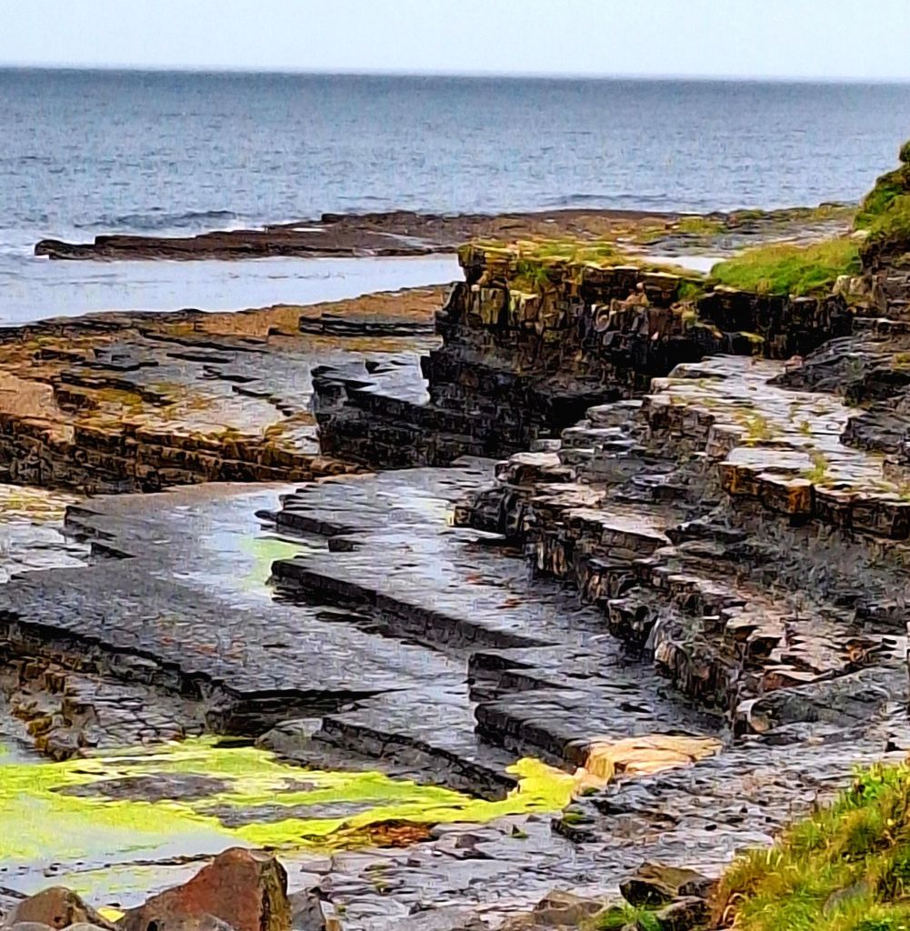
There is an impressive sea stack ‘Dùn Briste – The Broken Fort’. It is 45 m high and was separated from the mainland in 1393 as a result of high seas. People were taken off using ship’s ropes. It’s now a safe haven for seabirds.
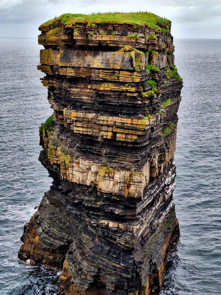
The cliffs overlooking it are giant clumps of bouncy thrift. These cliffs are also dangerous, with no barriers and a sheer drop into the sea. Definitely do not walk here in poor visibility.
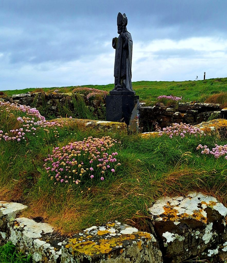
There’s a platform viewing area for a blowhole, set a safe distance from the cliffs. Nearby are the ruins of a tiny church and a stone cross marking the site of an earlier church, founded by Saint Patrick himself.
Twenty-five men lost their lives here in the aftermath of the 1798 rebellion. They are said to have taken refuge on a ledge at the bottom, and the tide came in before their ladder could be replaced.
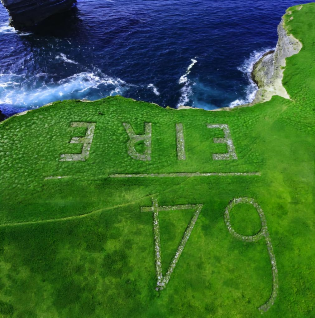
There is also the ‘Eire 64’ navigation mark, used during WW2 to guide aircraft.
Ballycastle boasted an art gallery, and they usually have cafes… but with only one high street and no sign of either the gallery or a cafe, I drove straight through. I did stop for fuel and picked up a nice handmade sandwich from their deli – that’s lunch for tomorrow.
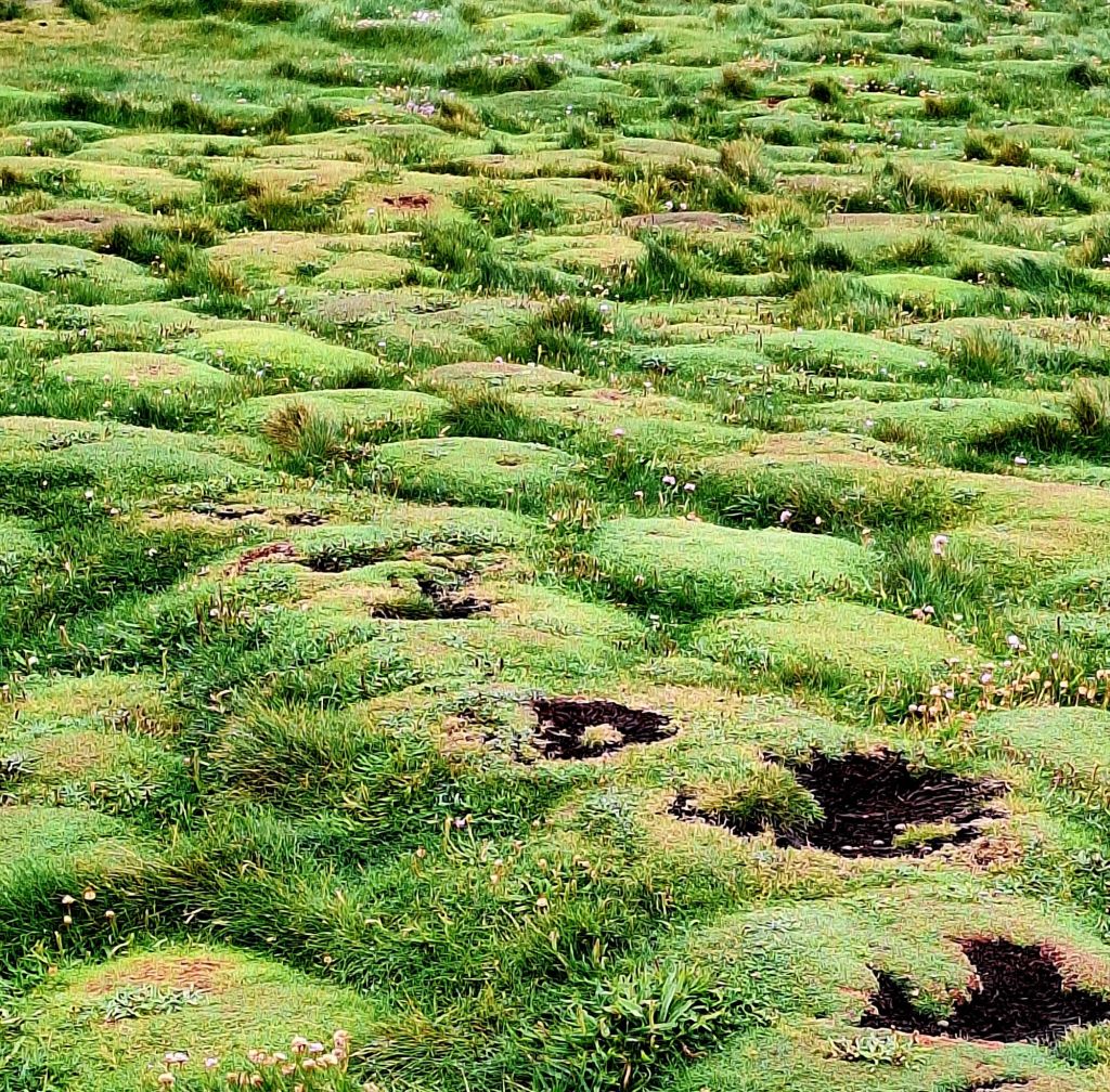
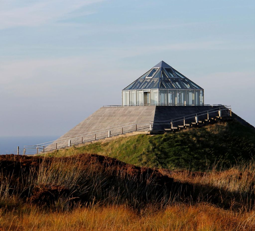
I was just about to give up all hope when I came upon Céide Fields Viewpoint, offering a great view overlooking the sea. But also, just around the corner, was the Céide Fields Neolithic site and visitor centre.
The sea cliffs between Belderrig and Ballycastle contain the most extensive Stone Age field system in the world – with walls dating back an incredible 6,000 years. The site is one of the most historically significant on the planet… wow!
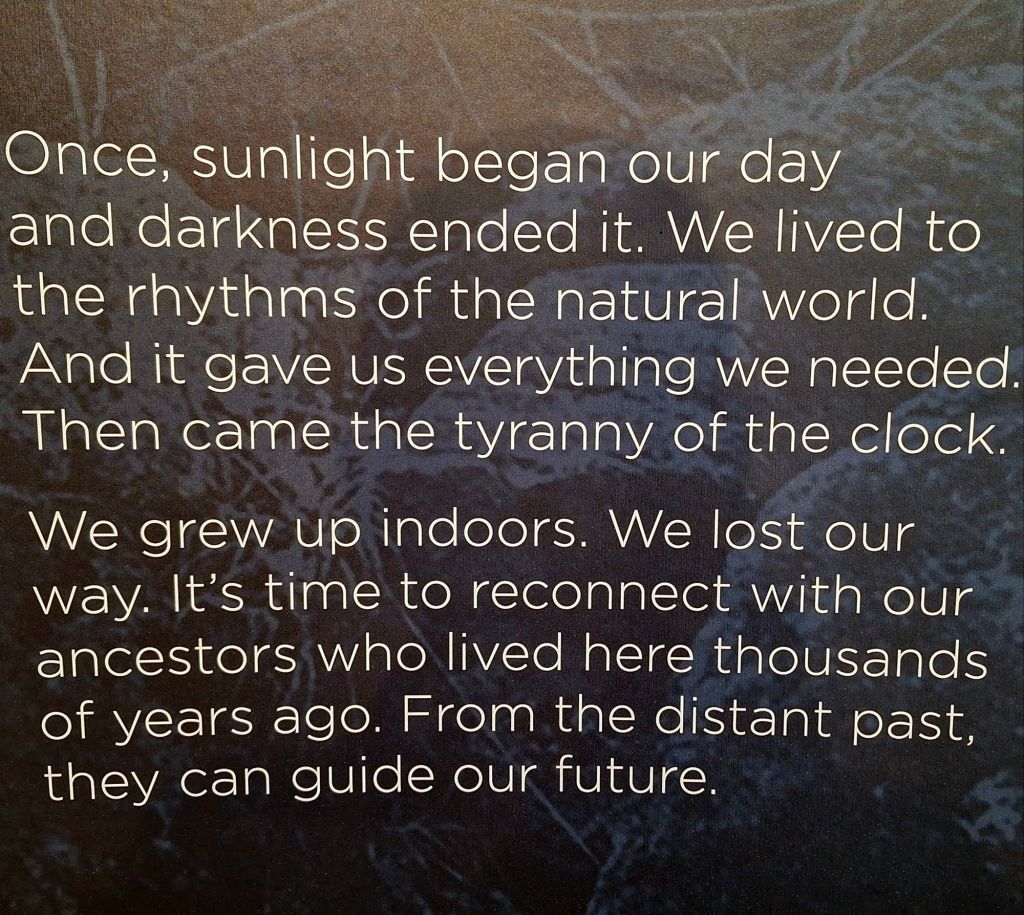
It’s an award-winning centre, with a 360° immersive video room. It tells the story of this ancient settlement, which extends for many miles underneath the blanket bog. It was quite moving.
The exhibition hall is full of information and has a viewing platform on the edge of the 11-meter-high cliff, allowing great views of the scenery. Although pretty cool, don’t expect to see any of the field system itself… it is buried. But on a soggy day, it was a welcome stop, and the hot soup and coffee were much needed.
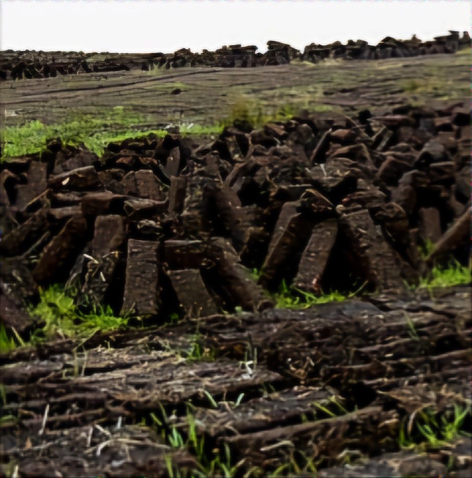
My final stop before stepping off the WAW was a 35-minute drive across the largest land area of peatland in the country (212,000 hectares) to Belmullet (Bèal an Mhuirthead). Driving over a vast, undulating peatland is like sailing a ship on a stormy sea. It’s dramatic, inhospitable, but an environmentally important area. Some of the best examples of bogs (blanket bog and western raised bog) are found in Mayo. The peat, also called turf, is still traditionally cut as fuel. You can see huge areas that have been cut away. I read somewhere that they are trying to ban this practice.
Driving over the peatland, I was surprised to see dense thickets of rhododendron. Approximately 12% of the habitat is recorded as being in sub-optimal condition due to the presence of the invasive species, Rhododendron ponticum. The Bundorragha Catchment Rhododendron Control Project is a community-led initiative aiming to tackle this major threat to local biodiversity.
Finally, after a long roller-coaster ride, I arrived at the rather wonderful Tidal Pool in Belmullet. This will make a very fitting end to the WAW when I finish it next week.
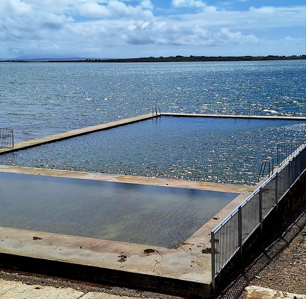
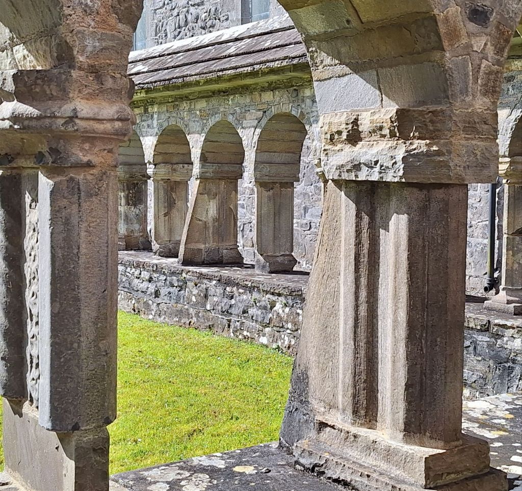
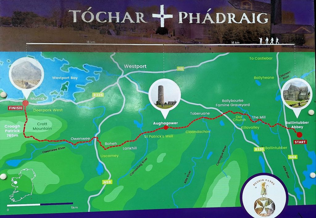
I looked longingly at the refreshing water, but it would have to wait. It was 3:30 PM, and I had to get to Ballintubber Abbey for tomorrow’s walk—another hour and a half in a fumey cabin, windows down in the rain. I was cold and tired by the time I arrived.
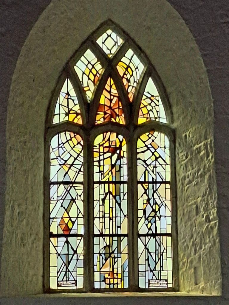
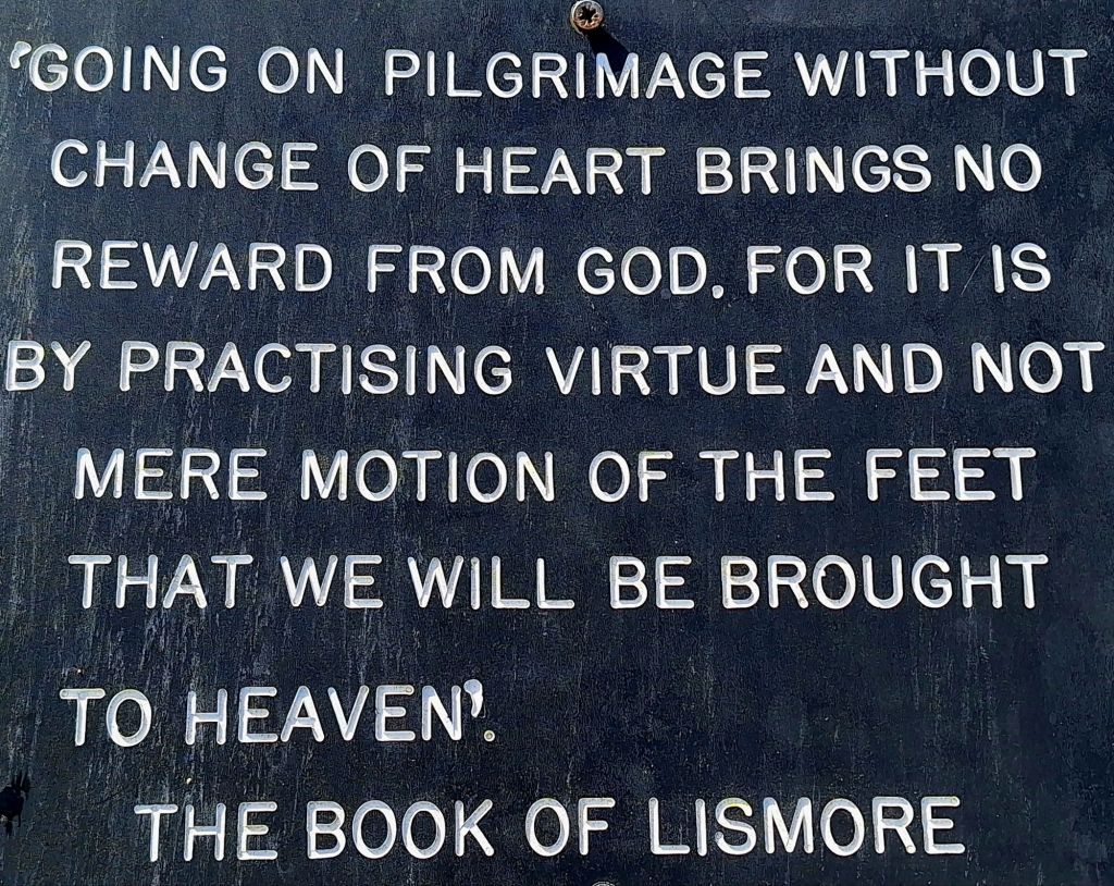
The Abbey was just as I remembered it from 2018. I quickly found the trailhead and had a short walk around.
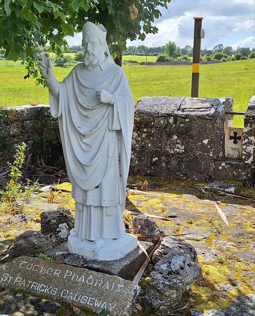
It’s a very devout place, so I’ll need to mind my Ps and Qs tomorrow – definitely no colorful language!”

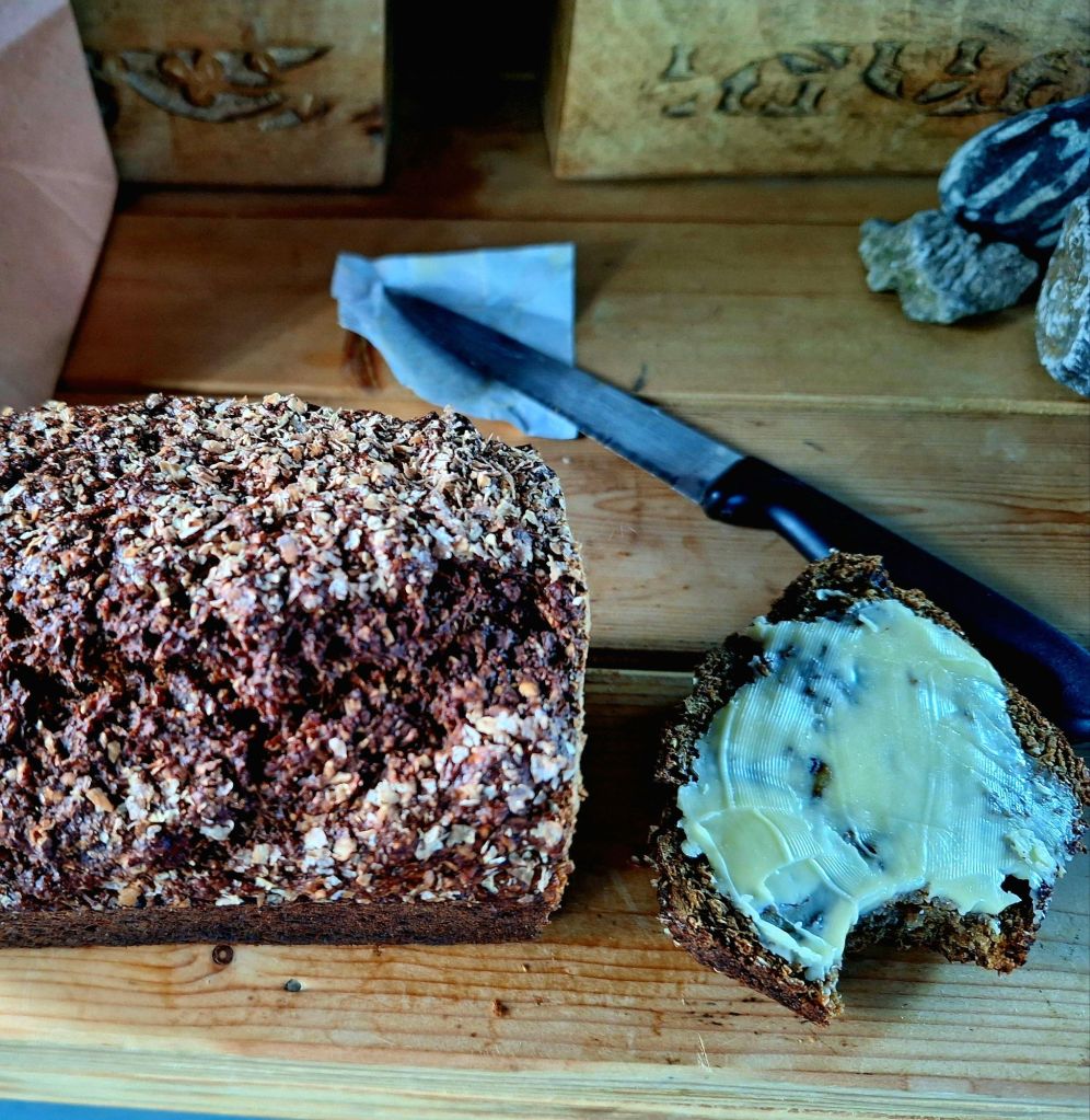
Handily, there’s a pub across the road where I enjoyed a well-earned Guinness. Plus, crisis over! They were selling loaves of Irish Treacle Bread with Walnuts. It’s the tastiest thing ever. Sorry, Gilly (who made my famous travel cake).
I chatted with the locals. Why do people keep wishing me luck and telling me I’m brave to walk Tochar Padraig? I felt suspicious.
It was an early night for me. I had to get my kit together and get some sleep

Leave a comment