For our Mum, who never got to see us do this together, RIP 14/10/2024
Monday May 5th 2025
CWT Day 11: Inverlael Bridge to Knockdamph Bothy – Approx: 12 stunning miles
A quiet night in the shadow of the “red mountain”. We heard a few people passing our tents, it’s a popular area for hikers and mountain bikers. This forest offers not only the well-known path up Beinn Dearg but also other pleasant routes with great views.
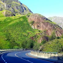
A small turbine house and a weir across the River Lael, are part of a ‘run of river’ hydro-electric scheme. This system harnesses the river’s natural flow to generate power, enough for a town the size of Ullapool, with minimal environmental impact
Tawny owls screeched in the night. Disturbed sleep, with strange dreams, I felt the cold at times, and we woke to thick frost … but clear skies meant a beautiful sunny day ahead. Packing away cardboard tents, we set off 7 am, on forestry tracks.

A diversion pointed left and took us on quite the mystery tour. If you don’t want to become Hansel and Gretel, ignore this sign and walk straight ahead from the main gate. After a km, look for a well hidden track on the left, marked by a handy little cairn. It’s easy to miss.
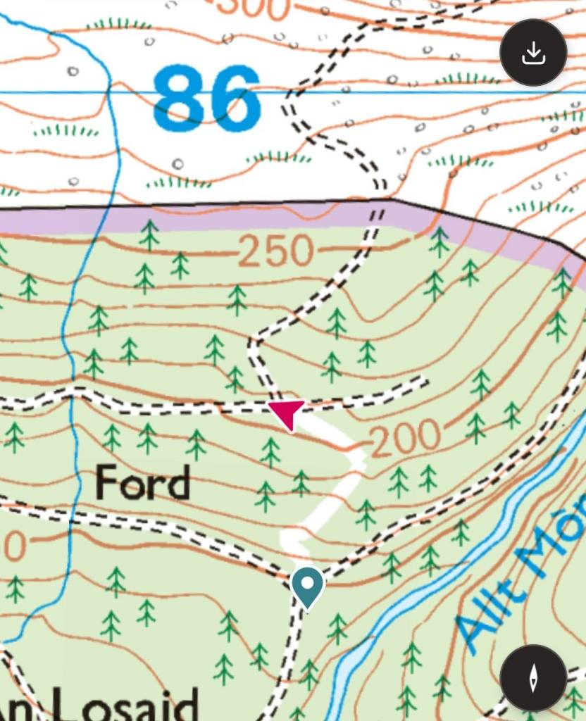
A very steep short climb will take you to another track that leads you out of the forest. The views from the top are impressive

A nice backpacker size kissing gate takes you out onto the open Moor.

More steep climbing on a 4 x 4 track for 3 – 4 km, then onto open trackless moor. This section is known for its potential difficulty and navigational challenges, often requiring careful route-finding across open terrain. We had anticipated a very hard day. But, it was easy navigation (in good weather). From the end of the track, look ahead and you will see a tall man-made cairn in the distance, walk towards it.
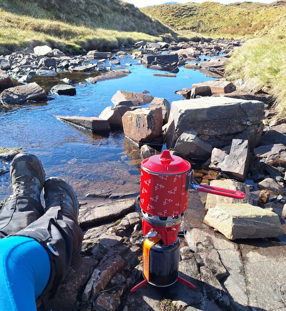
But first a breakfast stop
I felt quite at home on the moors, being used to walking in this kind of environment. I did all my Hill and Moorland Leader (HML) training on Dartmoor, which has similar challenging terrain – but not as vast. I disturbed a solitary grouse, which let out a cry and shot off, I don’t know who was more startled. Red Grouse are native birds of the British uplands, camouflaged amongst the heather.
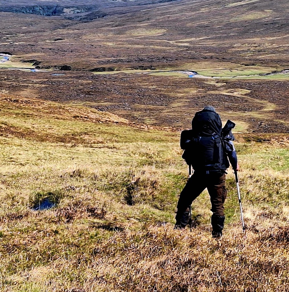
From the top of the moor you can see Glendouchery River. Look for the sheep pen on the left of the river and walk towards it. In the dry conditions it was an easy hike, but this area can be notoriously boggy. This is what our guide said “As you clear the forest, the path becomes steadily boggier and less distinct before disappearing completely. The key here is not to drop too far down towards Allt na Lairige – it’s a boggy horrible mess that will destroy your spirits early in the day”.
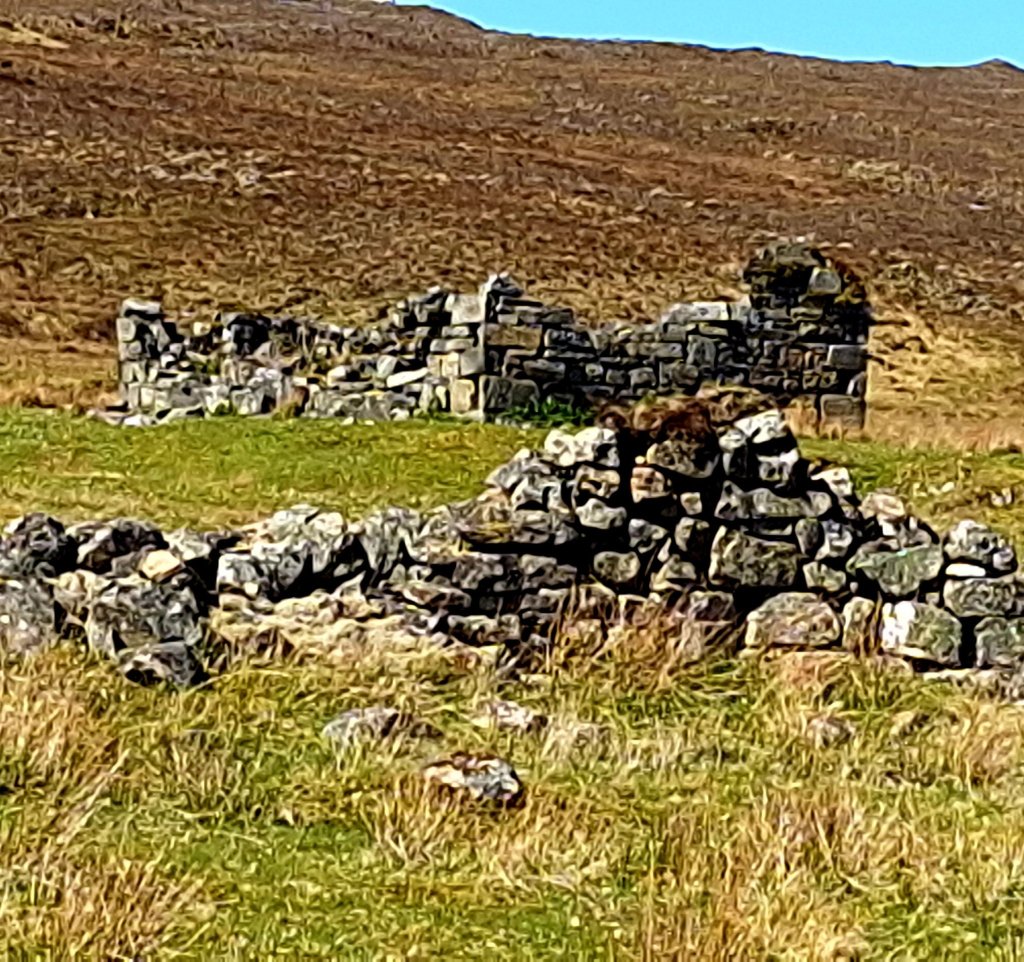
The Sheep pens (also called fanks, faulds, or stells in different regions) were integral parts of the Highland landscape, reflecting centuries of sheep farming. During and after the Highland Clearances in the 18th and 19th centuries, sheep pens became much more common across the Highlands. Landlords found sheep farming more profitable, leading to the conversion of land previously used by crofting communities into large areas for sheep. This resulted in the displacement of people and a significant re-organisation of the landscape to manage large sheep flocks.

It was a tranquil spot and we stopped for a break, miso and oatcakes. Skylarks pirouetted and sang above, I could have whiled away the day here. We were pleasantly surprised by the beauty of this section.
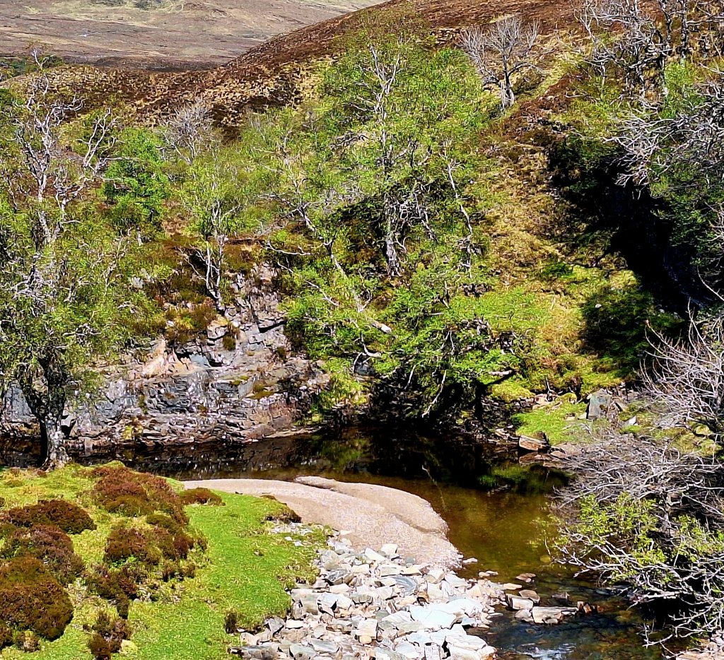
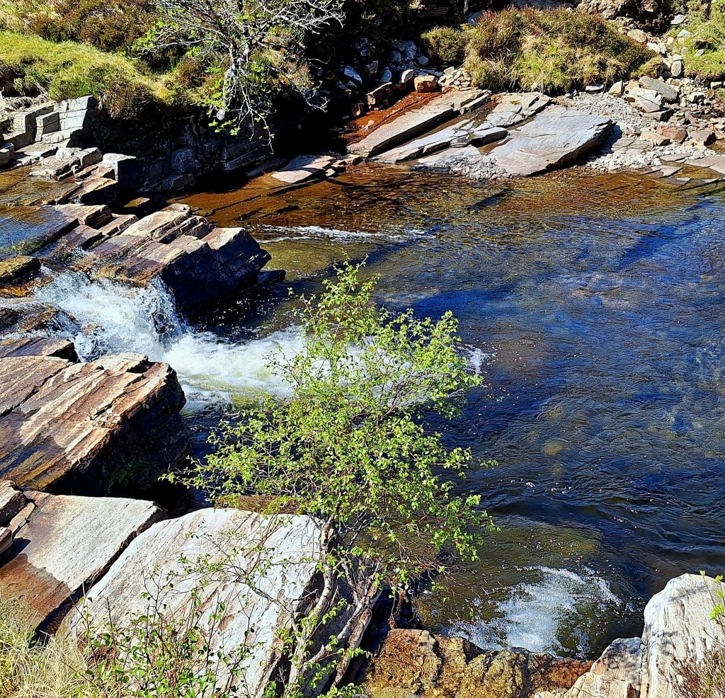
The rest of today’s stage followed the river Douchery, the paths on the left are better, but you do need to cross over. The paths on the east side become more challenging, through Heather and bog, with lots of uneven ground. There was evidence of deforestation, a forest once filled with life.

Walking along the river was absolutely beautiful, waterfalls and delightful pools. I have hiked passed so many idyllic swim stops over the last 10 days, but today I was determined to indulge. Tired of route marching from one stage to the next, I wanted to enjoy this beautiful landscape. Stripping off a few layers, I jumped in. Unable to dissuade me, my brother followed suit. It was invigorating and the heat of the day soon dried clothes.
All this beauty can be distracting, but try to stay focused, there was one last tricky bit to negotiate. As you reach an expanse of woodland, the route leads away from the river toward a gorge. Stay left and follow the deer fence down, crossing the river to continue along the deer fence and up a steep slope.
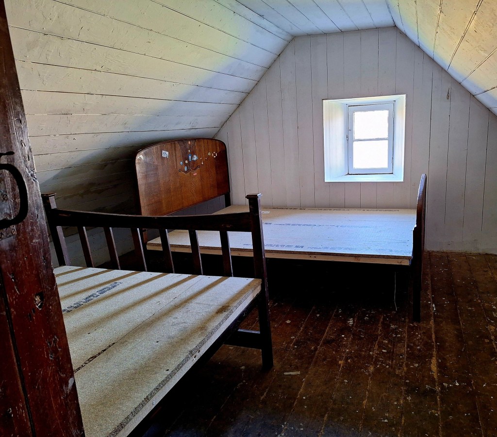
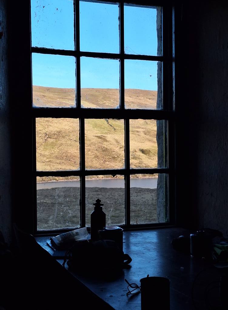
Soon you will have fine views of Loch an Daimh. Keep walking and you will find Knockdamph Bothy. We could have continued, but it was deserted, the sun was shining, and its remote beauty was exactly what we’d imagined the CWT experience to be.

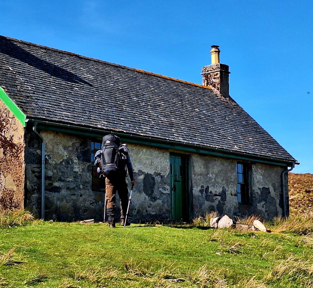
Having space to dry tents, do camp chores, and eat a relaxed meal was a real treat.

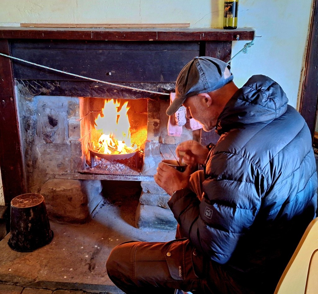
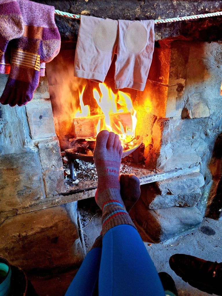
We had a small crackling fire, courtesy of my brothers excellent fire making skills. A hot drink and toasty toes, I think this has been my favourite day so far.

Leave a comment