For our Mum, who never got to see us do this together, RIP 14/10/2024
Sunday May 11th 2025
CWT Day 17: Firing Range to Cape Wrath – Approx: 4.5 miles, with the best of endings
A disturbed night’s sleep, waking at 1:30 am, then drifting in and out of sleep. No doubt anticipation for the end of this epic and challenging journey. We decamped and set off at 5:30 am. An initial tough climb on an empty stomach started our day.
The suggested route hugs the coast, but as the ground was so dry, my plan was to cut across. Climbing over the style onto MOD land, we first had to descend into a valley before climbing up and over the saddle between Sithearn na h-lolaireich and Cnoc na Ghuibais. A slightly less arduous climb than the coastal option.
As we reached the top a large shape drifted toward us in the sky. Was it an MoD drone, were we trespassing, was it a hang glider? It turned out to be a Sea Eagle, known as a “flying barn door” due to its immense wingspan; it was huge. It drifted for a while, then slowly and effortlessly turned and disappeared. The White-tailed Sea Eagle, or Sea Eagle, is the UK’s largest bird of prey, with a wingspan of up to 2.5 meters (8 feet). Reintroduced to Scotland, these magnificent birds are a conservation success.
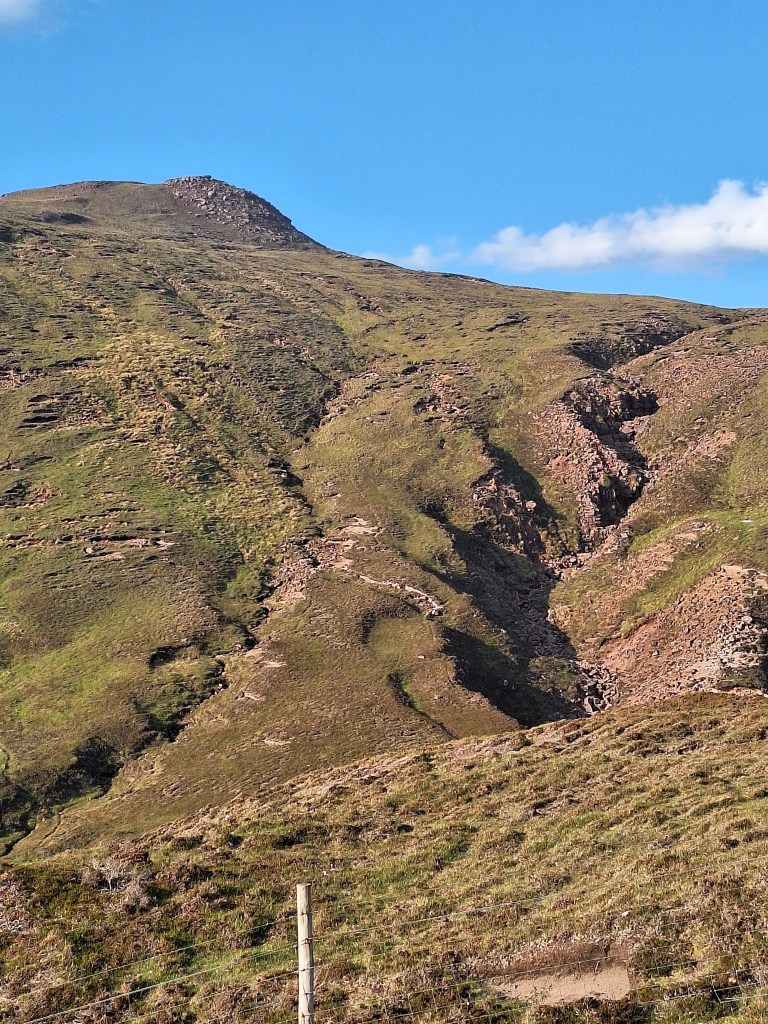
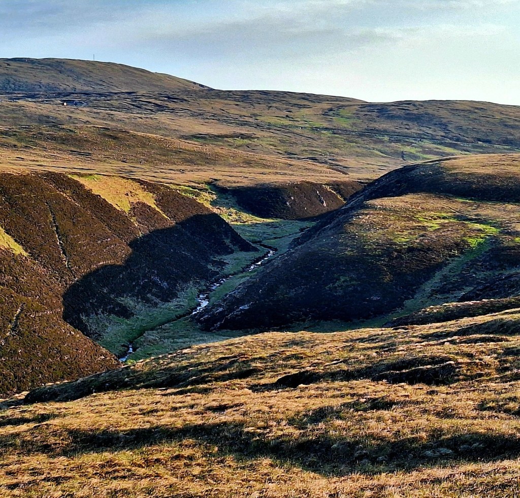
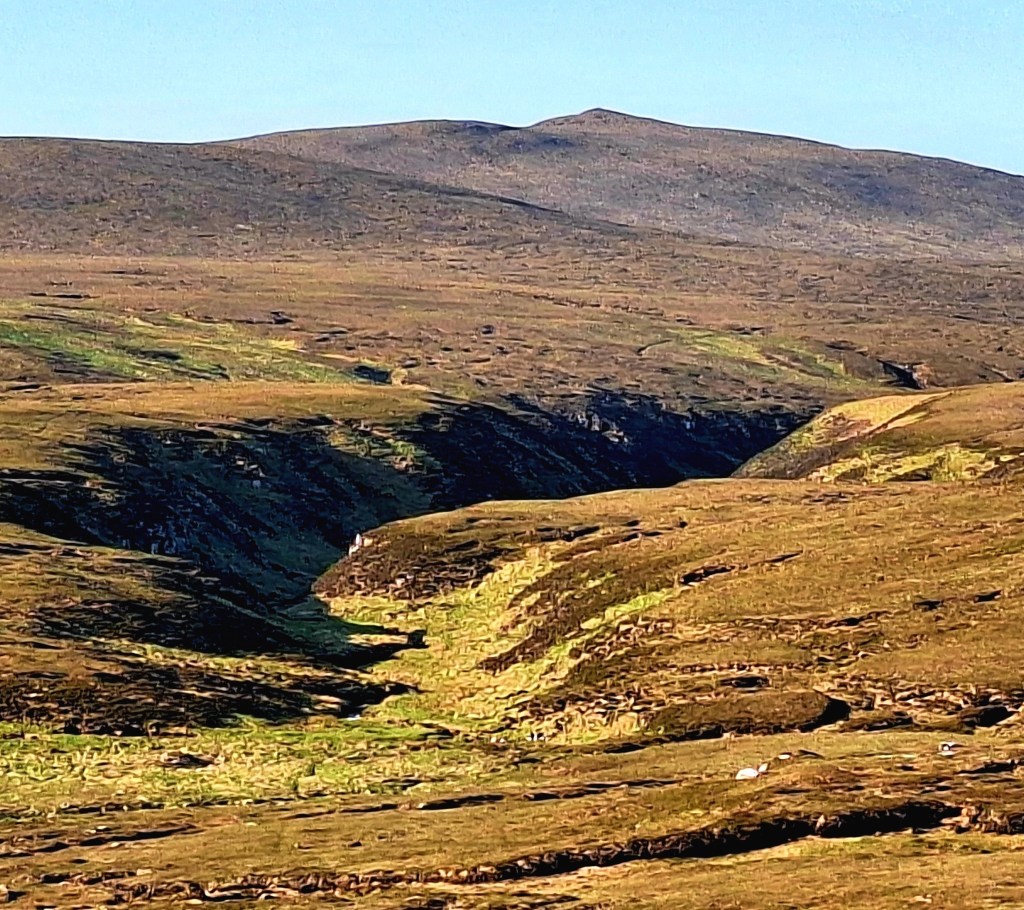
Once over the saddle, we had a good line of sight straight to the ‘scar’. Its far tip leads straight up to the track toward Cape Wrath. We took the most direct route, but don’t try this at home. In wet conditions, this route would be a tragic boggy mess. The route undulated up and down over empty acid grassland. A small lochen provided a brief stop to top up with water. It was a hot day.
From the lochen, I navigated across a grassy plain to climb back up to higher ground and the tip of the scar. The ground was soft underfoot, my brother already reticent about my route choice, and the prospect of ending up in a bog, complained. Confidently, I forged ahead, the ground giving way a little under my weight, more so for my brother. All of a sudden, I heard this existential cry from behind “ohhhh ohhh whaaat … we are heading further inland, we are going into a bog….” I stifled a titter and continued, I could see the fermer ground ahead. I reassured my brother that we were headed toward the coast
The lighthouse is visible from Sandwood Bay, but disappears from view beyond this point, so it is no longer a catching feature with which to navigate. Once we had climbed up out of the plain, the large scar appeared, and my brother was reassured, along with evidence from the map. He must have asked me to check the map a hundred times that day. Clearly, he did not trust his sisters navigation skills?
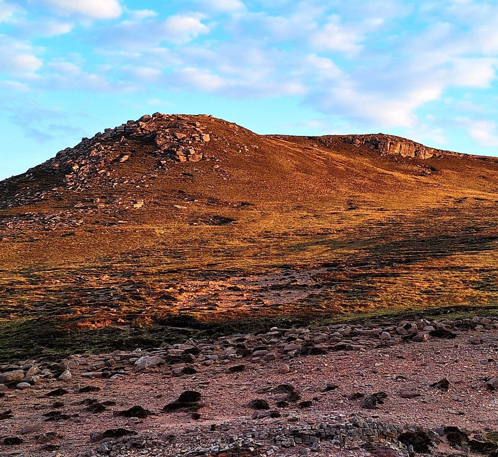
From the scar, it was a tussocky climb up to the lighthouse track.
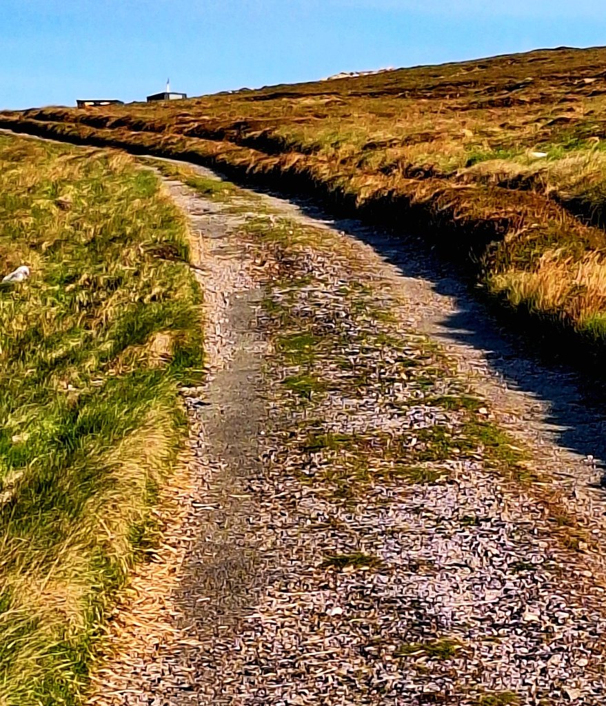
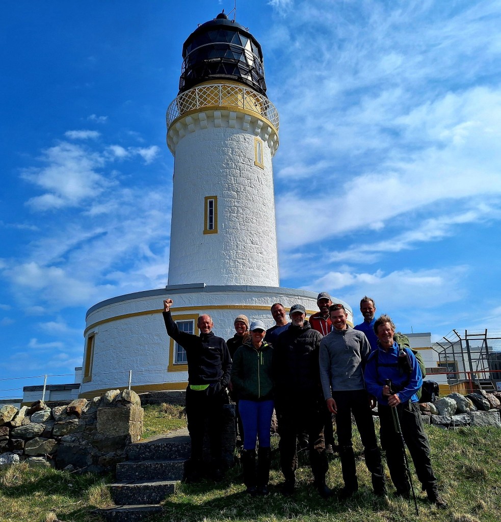
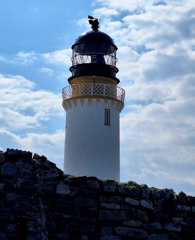
We were nearly there, just a mile or so easy walking straight to the lighthouse. We arrived just after 8 am, took the obligatory lighthouse selfie, and hugged before going in search of much needed food.
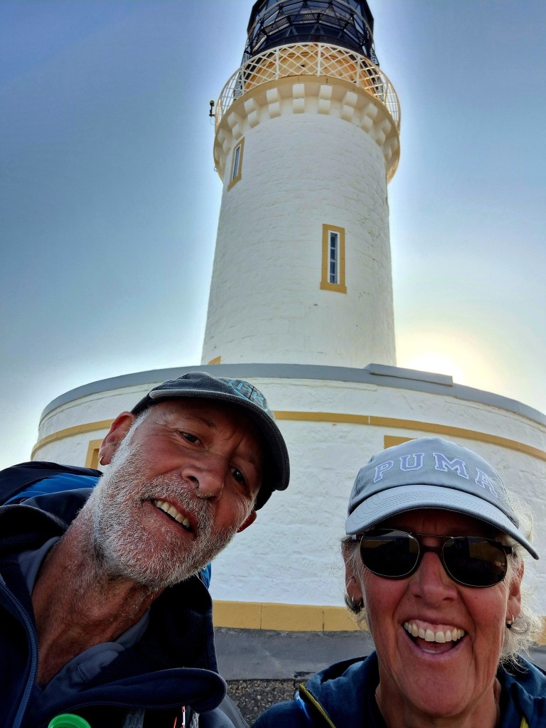
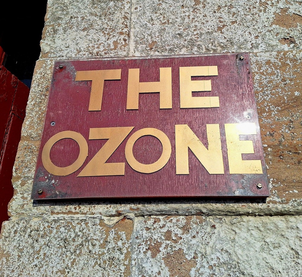
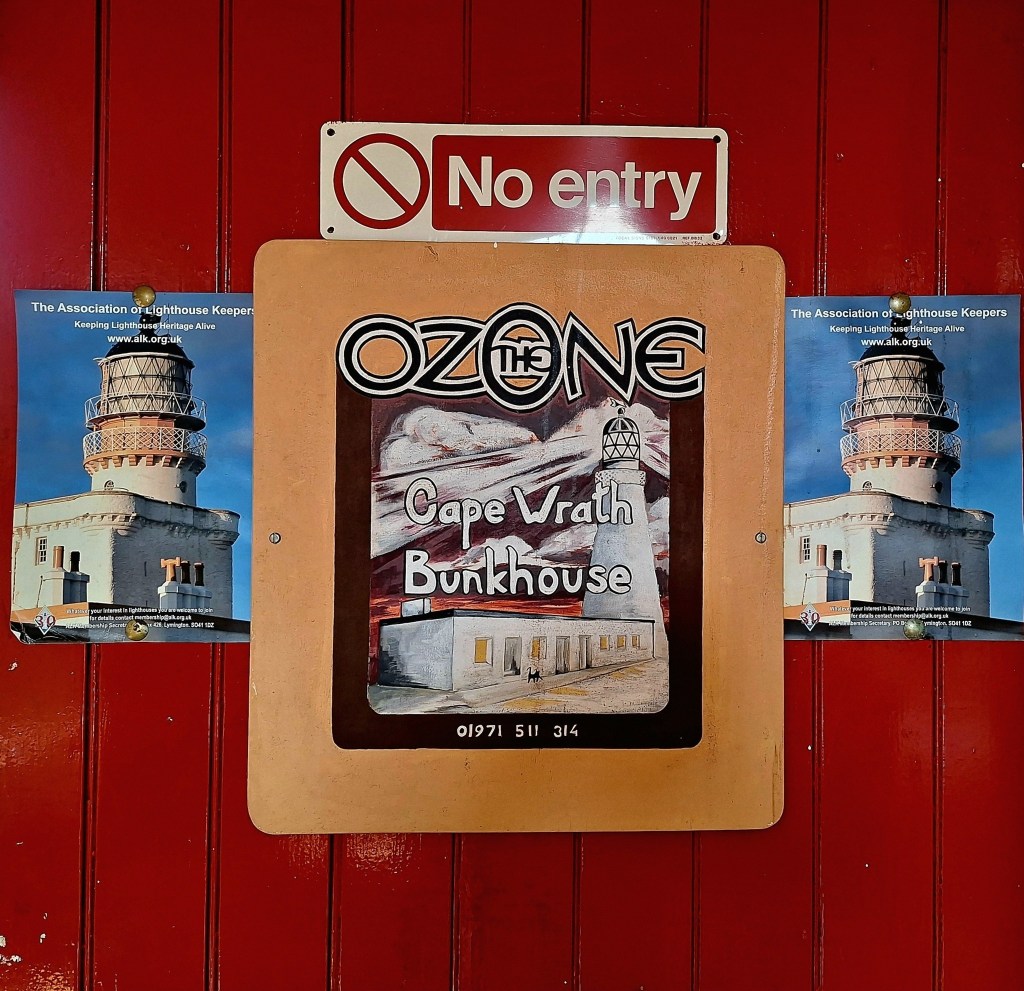
The Ozone Cafe door was open, and it appeared deserted. As if from nowhere, we heard a ‘hello’ – it was John, the proprietor, offering us hot coffee, a breakfast, and all kinds of goodies. It’s open 24/7, so don’t be afraid to walk in; he will find you. There is also the bunkhouse if you need to stay over. The Ozone Cafe, located at the lighthouse, marks the triumphant end point for those completing the Cape Wrath Trail.
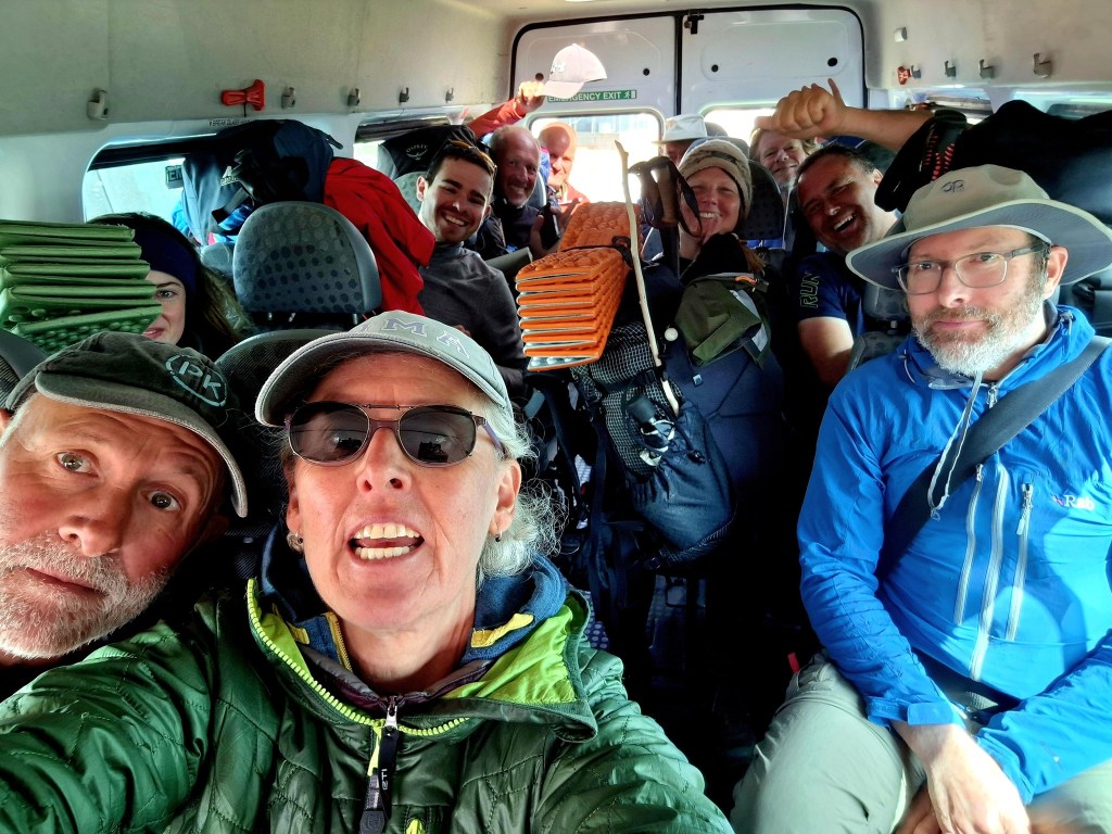
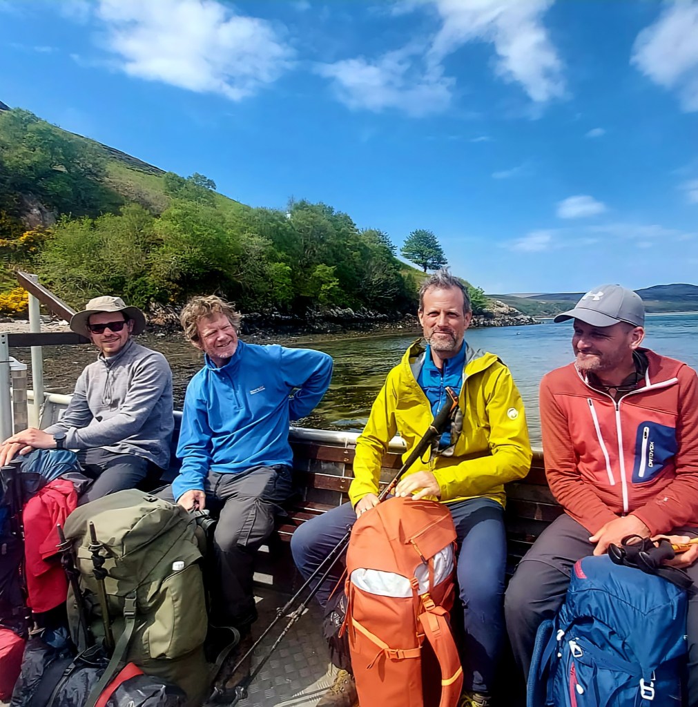
Just like the story of the tortoise and the hare, the slowest duet arrived first. After breakfast, we sat in the sun and chatted to two cyclists whilst we waited for the rest of our gang to trickle in. Congratulations and group photos all round before thankfully getting the bus out (£10).

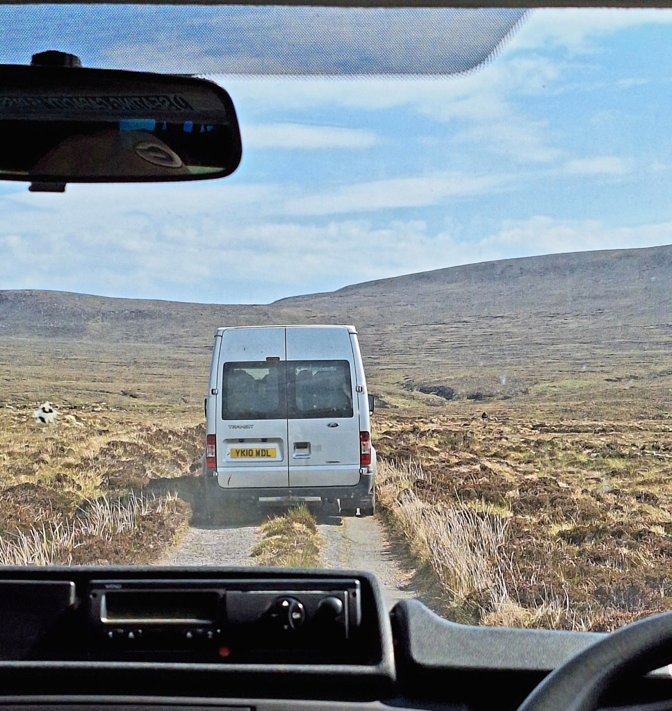
The track from Cape Wrath to the Ferry is approximately 11 miles. It takes about an hour to drive and at least 4 hours to walk out on the hilly, bumpy, narrow, and rough track.
I think it would have ended me to walk out. But, everything unfolded just as it should. If we hadn’t reached the Cape today, we would have been stranded for two days due to the full moon. The spring tides would have made sailing across impossible at low tide.
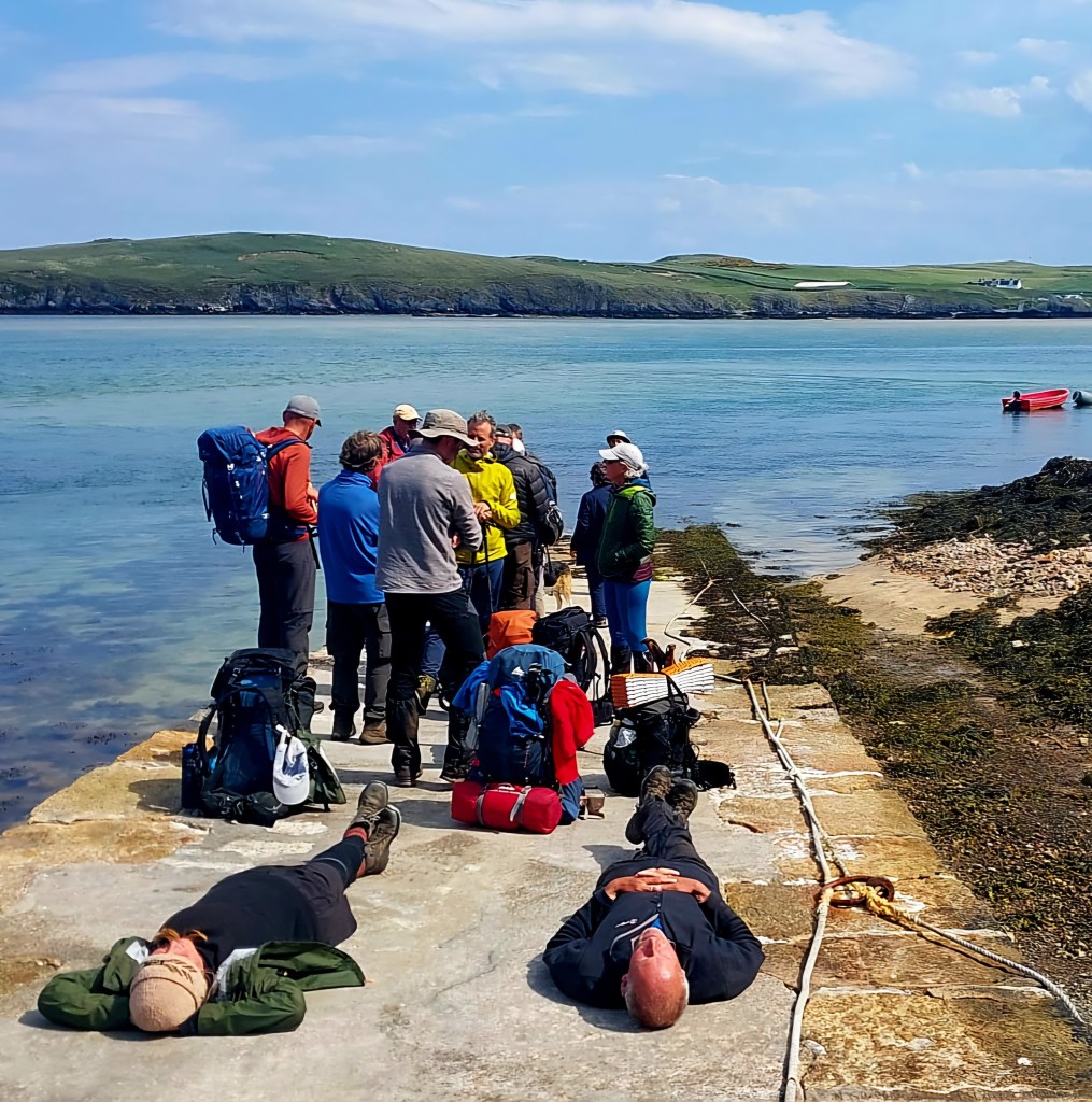
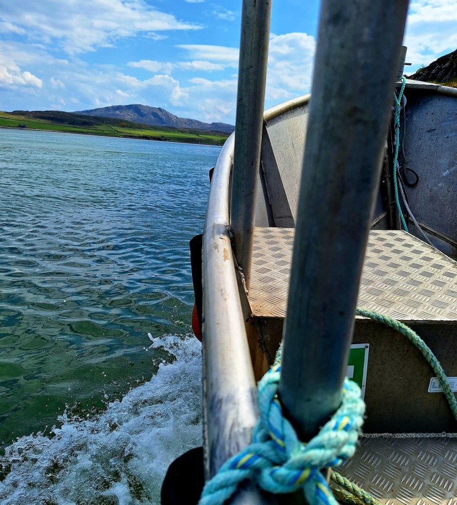
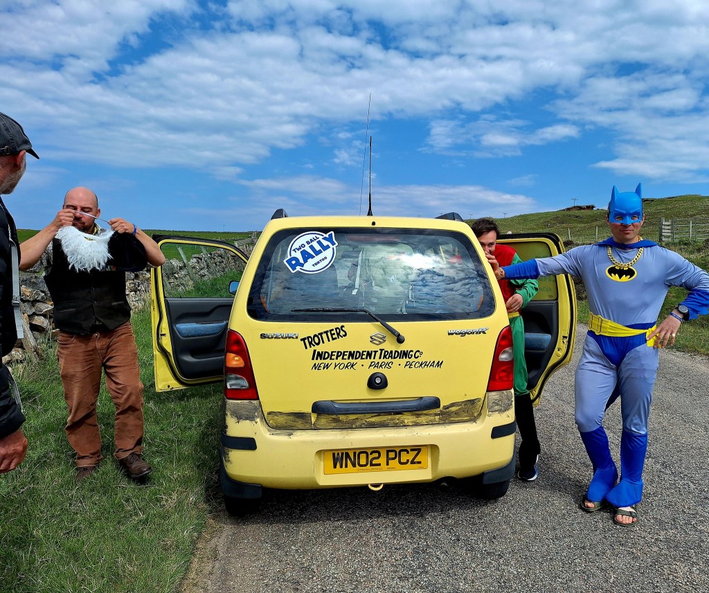
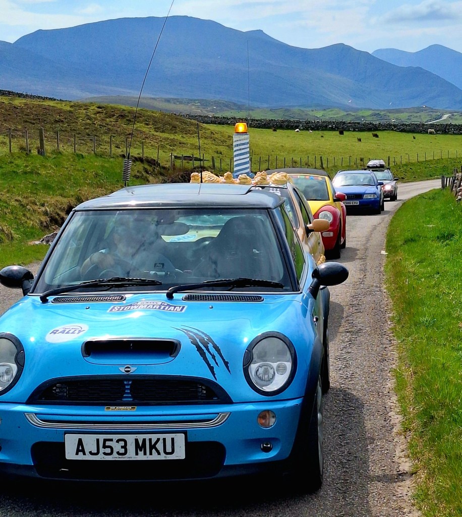
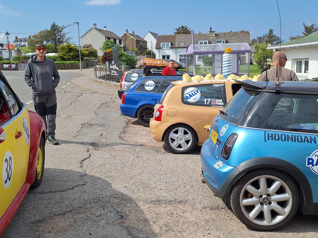
It’s a short journey across the Kyle of Durness (£8) in a little metal boat. Then a 4km hike to Durness and our campsite. Across the other side, I used the magic thumbing technique, and we were almost immediately picked up by mad folk in fancy dress, on a birthday rally. They had to pick up various things en route for points, and hitchhikers was one of them, so win-win. They kindly dropped us at the Spar in Durness.
It was then I realised I’d been here before. I had stayed here at the Sango Sands Oasis Campsite when I did the NC500. A woman reversed into my van as I was pulling out of the petrol station after visiting Smoo Caves. Smoo Cave is a large, combined sea cave and freshwater cave system near Durness, known for its dramatic and impressive entrance, and a waterfall inside.
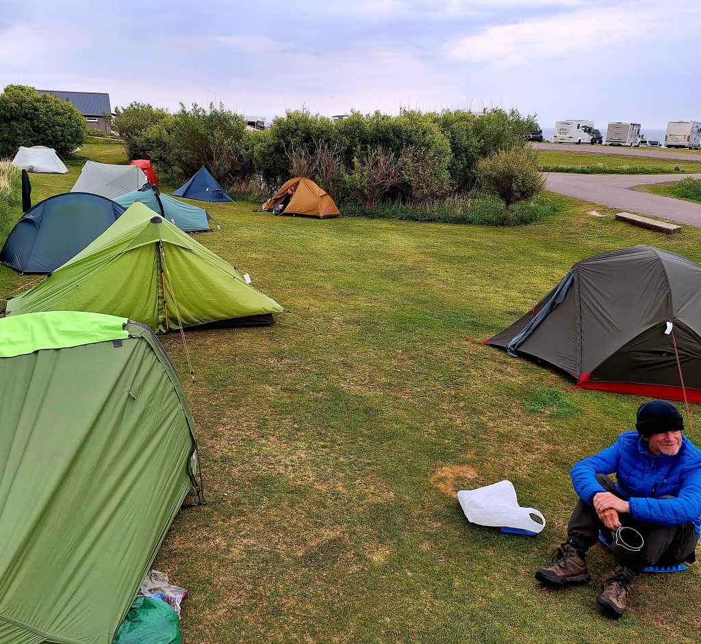
One last pitch of the tent at the campsite and the best hot shower ever. Other finishers weren’t far behind us, and before long we had a small CWT camp. Celebration beers and fish and chips down the pub, and our final night in tents. All that’s left is the great journey home. We are all booked onto the 805 bus to Inverness in the morning. Then, some of us onwards back to Fort William and home to various destinations.
It’s always sad leaving trail buddies behind, your tribe where you feel completely at home. But we should all be proud. The Cape Wrath Trail is a challenging, unmarked, long-distance walking route in Scotland, known for its rugged terrain and wild landscapes. It’s considered one of the toughest backpacking routes in the UK. It’s approximately 200-250 miles (320-400 km) long and typically takes 2-3 weeks to complete. Our group all nailed it in 17 days, albeit via slightly different and inventive means!!

Leave a reply to tonyurwin Cancel reply